Mahanoro night lights from space
Night Light of Mahanoro (Atsinanana) from space (Madagascar) Src. Average luminocity for 10x10km area is 0% and for 50x50km: 0%.
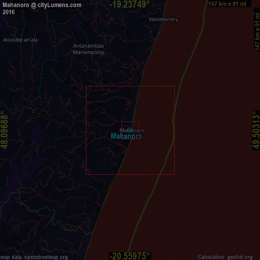

Analysis of Mahanoro night lights 2016
Square area 10x10 km:
 0%
0%90-99
0%80-89
0%70-79
0%60-69
0%50-59
0%40-49
0%30-39
0%20-29
0%10-19
0%0-9
100%Square area 50x50 km:
0%90-99
0%80-89
0%70-79
0%60-69
0%50-59
0%40-49
0%30-39
0%20-29
0%10-19
0%0-9
100%Clear (daylight) street map image can be seen on geolist.org.
Map coordinates:
19° 14' 15" South, 48° 5' 48.8" East
19° 54' 0" South, 48° 48' 0" East
20° 33' 35.1" South, 49° 30' 11.3" East
Some cities around Mahanoro sort by population:
• Nosy Varika
80.9 km =50.3 mi,  200°
200°
• Moramanga
121.4 km =75.4 mi,  330°
330°
• Sahavato
91.8 km =57 mi,  212°
212°
• Marolambo
73.3 km =45.5 mi,  256°
256°
• Ampasimanolotra
123.7 km =76.9 mi,  13°
13°
• Andovoranto
110 km =68.4 mi,  17°
17°
• Ambohitrandriamanitra
140 km =87 mi,  310°
310°
• Merikanjaka
131.1 km =81.5 mi, 310°
1062553 (p: 39,879)
Sources (retrieved 2019-11-25):
» Earth at Night: Flat Maps 2012, 2016