Ambohitseheno night lights from space
Night Light of Ambohitseheno (Analamanga) from space (Madagascar) Src. Average luminocity for 10x10km area is 0% and for 50x50km: 1.0257%.
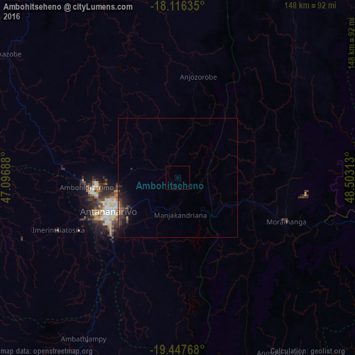
Analysis of Ambohitseheno night lights 2016
Square area 10x10 km:
 0%
0%90-99
0%80-89
0%70-79
0%60-69
0%50-59
0%40-49
0%30-39
0%20-29
0%10-19
0%0-9
100%Square area 50x50 km:
0%90-99
0%80-89
0.03%70-79
0.1%60-69
0.12%50-59
0.2%40-49
0.35%30-39
0.4%20-29
0.53%10-19
1.28%0-9
96.99%Clear (daylight) street map image can be seen on geolist.org.
Map coordinates:
18° 6' 58.9" South, 47° 5' 48.8" East
18° 46' 60" South, 47° 48' 0" East
19° 26' 51.6" South, 48° 30' 11.3" East
Some cities around Ambohitseheno sort by population:
• Manjakandriana
14.8 km =9.2 mi,  180°
180°
• Sadabe
19.7 km =12.2 mi,  327°
327°
• Alarobia
21.6 km =13.4 mi,  198°
198°
• Ankazondandy
9.4 km =5.8 mi,  349°
349°
• Miadanandriana
27.9 km =17.3 mi, 183°
• Mantasoa
26.2 km =16.3 mi,  172°
172°
• Sambaina
13.1 km =8.1 mi,  187°
187°
• Anjepy
11.5 km =7.1 mi,  229°
229°
1079681 (p: 6,000)
Sources (retrieved 2019-11-25):
» Earth at Night: Flat Maps 2012, 2016