Podgorica night lights from space
Night Light of Podgorica from space (Montenegro) Src. Average luminocity for 10x10km area is 60.8921% and for 50x50km: 5.7566%.
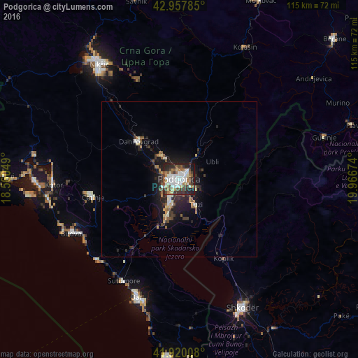
Analysis of Podgorica night lights 2016
Square area 10x10 km:
 15.24%
90-99
17.3%80-89
4.13%70-79
4.76%60-69
9.05%50-59
7.3%40-49
8.41%30-39
8.89%20-29
15.24%10-19
9.68%0-9
0%Square area 50x50 km:
0.79%90-99
1.03%80-89
0.49%70-79
0.5%60-69
0.68%50-59
0.87%40-49
0.72%30-39
1.09%20-29
2.16%10-19
4.07%0-9
87.59%Clear (daylight) street map image can be seen on geolist.org.
Map coordinates:
42° 57' 28.3" North, 18° 33' 37.8" East
42° 26' 28" North, 19° 15' 49" East
41° 55' 12.3" North, 19° 58' 0.3" East
Some cities around Podgorica sort by population:
• Shkodër, AL
46.2 km =28.7 mi,  153°
153°
• Nikšić
45.2 km =28.1 mi,  324°
324°
• Budva
38.8 km =24.1 mi,  243°
243°
• Bar
41 km =25.5 mi,  199°
199°
• Cetinje
29.2 km =18.1 mi,  258°
258°
• Dobrota
40.7 km =25.3 mi,  272°
272°
• Kotor
40.7 km =25.3 mi, 266°
• Danilovgrad
15.8 km =9.8 mi, 322°
3193044 (p: 136,473)
Sources (retrieved 2019-11-25):
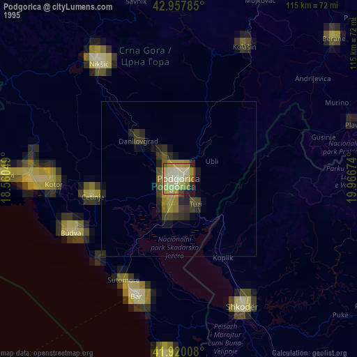
» NASA, Earths city lights 1995
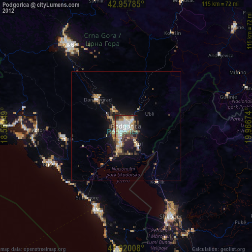
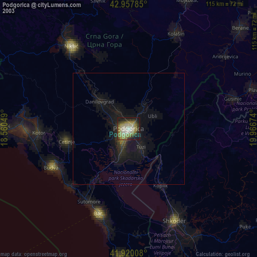
» NASA city lights 2003
» Earth at Night: Flat Maps 2012, 2016