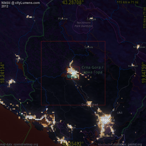
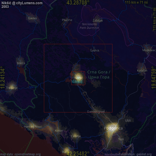
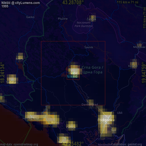
Nikšić night lights from space
Night Light of Nikšić (Opština Nikšić) from space (Montenegro) Src. Average luminocity for 10x10km area is 41.9015% and for 50x50km: 2.5757%.
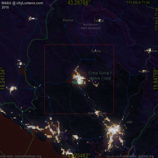
Analysis of Nikšić night lights 2016
Square area 10x10 km:
 8.94%
8.94%90-99
9.85%80-89
2.58%70-79
5%60-69
4.55%50-59
5.3%40-49
5.76%30-39
2.73%20-29
11.21%10-19
35.91%0-9
8.18%Square area 50x50 km:
0.4%90-99
0.48%80-89
0.11%70-79
0.21%60-69
0.3%50-59
0.47%40-49
0.38%30-39
0.3%20-29
0.62%10-19
2.31%0-9
94.44%Clear (daylight) street map image can be seen on geolist.org.
Map coordinates:
43° 17' 13.5" North, 18° 14' 28.8" East
42° 46' 23.2" North, 18° 56' 40.1" East
42° 15' 17.4" North, 19° 38' 51.3" East
Some cities around Nikšić sort by population:
• Cetinje
42.6 km =26.5 mi,  183°
183°
• Bileća, BA
43.5 km =27 mi,  285°
285°
• Tivat
42.7 km =26.5 mi,  208°
208°
• Dobrota
38.3 km =23.8 mi,  202°
202°
• Kotor
41.8 km =26 mi, 200°
• Danilovgrad
29.4 km =18.3 mi,  145°
145°
• Plužine
43.1 km =26.8 mi,  348°
348°
• Šavnik
23.9 km =14.9 mi,  31°
31°
3194494 (p: 58,212)
Sources (retrieved 2019-11-25):
» NASA, Earths city lights 1995
» NASA city lights 2003
» Earth at Night: Flat Maps 2012, 2016