Cetinje night lights from space
Night Light of Cetinje from space (Montenegro) Src. Average luminocity for 10x10km area is 10.2381% and for 50x50km: 6.0811%.
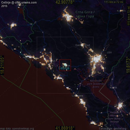
Analysis of Cetinje night lights 2016
Square area 10x10 km:
 0.95%
0.95%90-99
3.49%80-89
0.63%70-79
1.11%60-69
1.11%50-59
1.43%40-49
1.43%30-39
0%20-29
0%10-19
0.16%0-9
89.68%Square area 50x50 km:
0.42%90-99
0.72%80-89
0.6%70-79
0.81%60-69
0.93%50-59
1.06%40-49
0.63%30-39
0.97%20-29
1.33%10-19
5.24%0-9
87.29%Clear (daylight) street map image can be seen on geolist.org.
Map coordinates:
42° 54' 28" North, 18° 12' 39.8" East
42° 23' 26.3" North, 18° 54' 51" East
41° 52' 9" North, 19° 37' 2.3" East
Some cities around Cetinje sort by population:
• Podgorica
29.2 km =18.1 mi,  78°
78°
• Herceg-Novi
31.7 km =19.7 mi,  282°
282°
• Budva
13.1 km =8.1 mi,  207°
207°
• Bar
36.5 km =22.7 mi,  155°
155°
• Tivat
18.8 km =11.7 mi,  285°
285°
• Dobrota
13.9 km =8.6 mi,  300°
300°
• Kotor
12.4 km =7.7 mi, 285°
• Danilovgrad
26.3 km =16.3 mi,  46°
46°
3202641 (p: 15,137)
Sources (retrieved 2019-11-25):
» Earth at Night: Flat Maps 2012, 2016