Plužine night lights from space
Night Light of Plužine (Opština Plužine) from space (Montenegro) Src. Average luminocity for 10x10km area is 0% and for 50x50km: 0.138%.
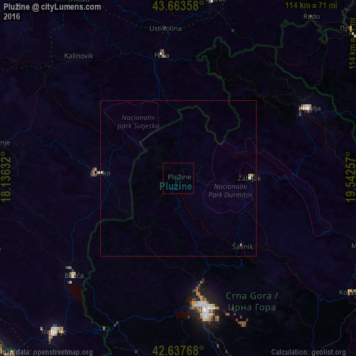
Analysis of Plužine night lights 2016
Square area 10x10 km:
 0%
0%90-99
0%80-89
0%70-79
0%60-69
0%50-59
0%40-49
0%30-39
0%20-29
0%10-19
0%0-9
100%Square area 50x50 km:
0%90-99
0.06%80-89
0%70-79
0.05%60-69
0.03%50-59
0%40-49
0%30-39
0%20-29
0.05%10-19
0%0-9
99.81%Clear (daylight) street map image can be seen on geolist.org.
Map coordinates:
43° 39' 48.9" North, 18° 8' 10.8" East
43° 9' 10" North, 18° 50' 22" East
42° 38' 15.6" North, 19° 32' 33.3" East
Some cities around Plužine sort by population:
• Nikšić
43.1 km =26.8 mi,  168°
168°
• Pljevlja
47.8 km =29.7 mi,  61°
61°
• Goražde, BA
58.3 km =36.2 mi,  10°
10°
• Foča, BA
39.6 km =24.6 mi,  352°
352°
• Bileća, BA
45.3 km =28.1 mi,  227°
227°
• Nevesinje, BA
60 km =37.3 mi,  281°
281°
• Žabljak
23 km =14.3 mi,  89°
89°
• Šavnik
30.2 km =18.8 mi,  136°
136°
3193131 (p: 1,494)
Sources (retrieved 2019-11-25):
» Earth at Night: Flat Maps 2012, 2016