Mohyliv-Podilskyi night lights from space
Night Light of Mohyliv-Podilskyi (Vinnyts'ka) from space (Ukraine) Src. Average luminocity for 10x10km area is 1.9119% and for 50x50km: 0.1518%.
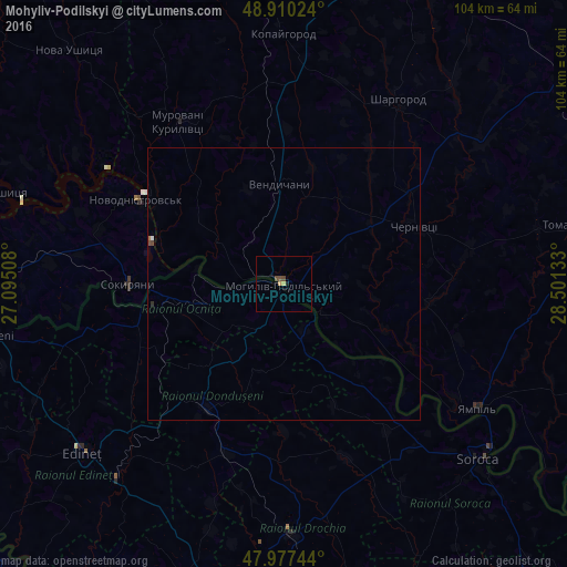
Analysis of Mohyliv-Podilskyi night lights 2016
Square area 10x10 km:
 0%
0%90-99
0%80-89
0.57%70-79
0.57%60-69
0%50-59
0.14%40-49
1.56%30-39
0%20-29
0.14%10-19
0.43%0-9
96.59%Square area 50x50 km:
0.01%90-99
0.01%80-89
0.02%70-79
0.02%60-69
0.02%50-59
0.02%40-49
0.1%30-39
0.01%20-29
0.02%10-19
0.02%0-9
99.75%Clear (daylight) street map image can be seen on geolist.org.
Map coordinates:
48° 54' 36.9" North, 27° 5' 42.3" East
48° 26' 45.5" North, 27° 47' 53.5" East
47° 58' 38.8" North, 28° 30' 4.8" East
Some cities around Mohyliv-Podilskyi sort by population:
• Briceni, MD
12.2 km =7.6 mi,  215°
215°
• Novodnistrovs’k
30.4 km =18.9 mi,  300°
300°
• Donduşeni, MD
26.5 km =16.5 mi,  211°
211°
• Ocniţa, MD
27.5 km =17.1 mi,  255°
255°
• Sokyryany
28.1 km =17.5 mi,  270°
270°
• Otaci, MD
1.5 km =0.9 mi,  177°
177°
• Sharhorod
40 km =24.9 mi,  30°
30°
• Murovani Kurylivtsi
37.1 km =23.1 mi,  326°
326°
700918 (p: 32,500)
Sources (retrieved 2019-11-25):
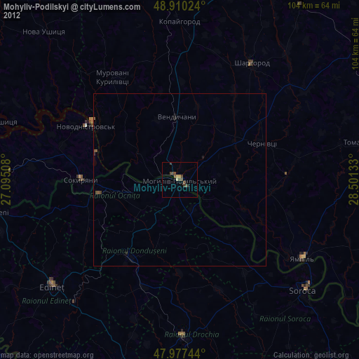
» Earth at Night: Flat Maps 2012, 2016