Otaci night lights from space
Night Light of Otaci (Raionul Ocniţa) from space (Moldova) Src. Average luminocity for 10x10km area is 1.9119% and for 50x50km: 0.1518%.
Analysis of Otaci night lights 2016
Square area 10x10 km:
 0%
0%90-99
0%80-89
0.57%70-79
0.57%60-69
0%50-59
0.14%40-49
1.56%30-39
0%20-29
0.14%10-19
0.43%0-9
96.59%Square area 50x50 km:
0.01%90-99
0.01%80-89
0.02%70-79
0.02%60-69
0.02%50-59
0.02%40-49
0.1%30-39
0.01%20-29
0.02%10-19
0.02%0-9
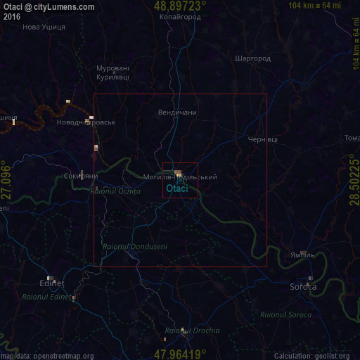
99.75%Clear (daylight) street map image can be seen on geolist.org.
Map coordinates:
48° 53' 50" North, 27° 5' 45.6" East
48° 25' 58.3" North, 27° 47' 56.8" East
47° 57' 51.1" North, 28° 30' 8.1" East
Some cities around Otaci sort by population:
• Mohyliv-Podilskyi, UA
1.5 km =0.9 mi,  357°
357°
• Briceni
11.1 km =6.9 mi,  219°
219°
• Novodnistrovs’k, UA
31.2 km =19.4 mi,  302°
302°
• Donduşeni
25.3 km =15.7 mi,  213°
213°
• Ocniţa
27.2 km =16.9 mi,  258°
258°
• Sokyryany, UA
28.2 km =17.5 mi,  273°
273°
• Sharhorod, UA
41.3 km =25.7 mi,  29°
29°
• Murovani Kurylivtsi, UA
38.3 km =23.8 mi,  327°
327°
618631 (p: 8,400)
Sources (retrieved 2019-11-25):
» Earth at Night: Flat Maps 2012, 2016