Melilla night lights from space
Night Light of Melilla from space (Spain) Src. Average luminocity for 10x10km area is 47.9927% and for 50x50km: 8.3922%.
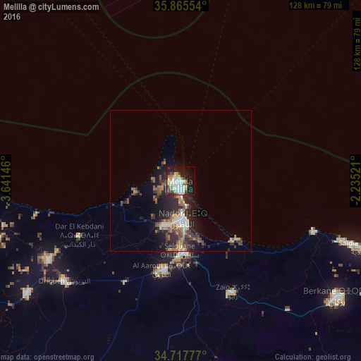
Analysis of Melilla night lights 2016
Square area 10x10 km:
 13.37%
90-99
12.27%80-89
3.66%70-79
4.58%60-69
6.78%50-59
1.47%40-49
4.4%30-39
6.78%20-29
9.71%10-19
27.47%0-9
9.52%Square area 50x50 km:
1.18%90-99
1.21%80-89
0.38%70-79
1.01%60-69
1.73%50-59
0.9%40-49
1.42%30-39
1.62%20-29
3.77%10-19
5.41%0-9
81.37%Clear (daylight) street map image can be seen on geolist.org.
Map coordinates:
35° 51' 55.9" North, 3° 38' 29.3" West
35° 17' 37.3" North, 2° 56' 18" West
34° 43' 4" North, 2° 14' 6.8" West
Some cities around Melilla sort by population:
• Nador, MA
14 km =8.7 mi,  178°
178°
• Berkane, MA
69.9 km =43.4 mi,  126°
126°
• Imzouren, MA
84.5 km =52.5 mi,  258°
258°
• Al Aaroui, MA
32.1 km =19.9 mi,  191°
191°
• Zaïo, MA
43.3 km =26.9 mi,  154°
154°
• Ahfir, MA
85.1 km =52.9 mi,  116°
116°
• Bni Bouayach, MA
84.6 km =52.6 mi, 255°
• Midar, MA
66.9 km =41.6 mi,  234°
234°
2513947 (p: 73,460)
Sources (retrieved 2019-11-25):
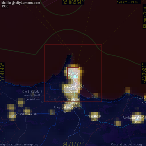
» NASA, Earths city lights 1995
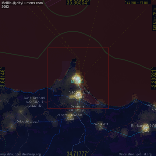
» NASA city lights 2003
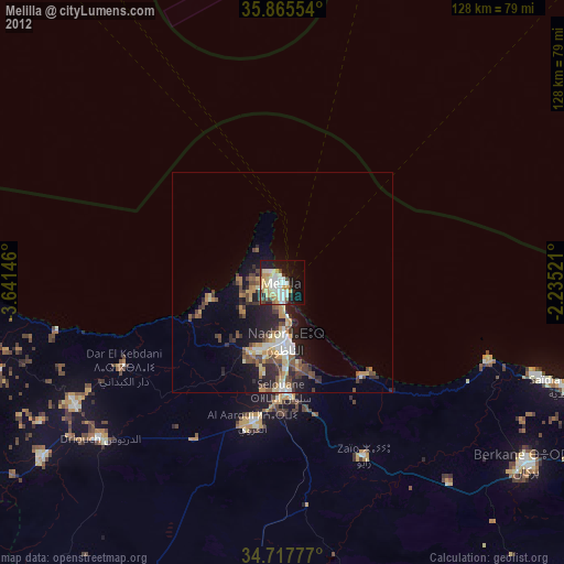
» Earth at Night: Flat Maps 2012, 2016