Tarfaya night lights from space
Night Light of Tarfaya (Laâyoune-Sakia El Hamra) from space (Morocco) Src. Average luminocity for 10x10km area is 4.3636% and for 50x50km: 0.1806%.
Analysis of Tarfaya night lights 2016
Square area 10x10 km:
 0.38%
0.38%90-99
1.14%80-89
0.76%70-79
0.76%60-69
0%50-59
1.52%40-49
0%30-39
0.76%20-29
0%10-19
0%0-9
94.7%Square area 50x50 km:
0.02%90-99
0.05%80-89
0.03%70-79
0.03%60-69
0%50-59
0.06%40-49
0%30-39
0.03%20-29
0%10-19
0.03%0-9
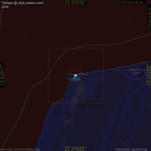
99.76%Clear (daylight) street map image can be seen on geolist.org.
Map coordinates:
28° 33' 30.9" North, 13° 37' 45" West
27° 56' 21.1" North, 12° 55' 33.7" West
27° 18' 58.5" North, 12° 13' 22.5" West
Some cities around Tarfaya sort by population:
• Laayoune, EH
92.3 km =57.4 mi,  196°
196°
• Puerto del Rosario, ES
111 km =69 mi,  304°
304°
• La Oliva, ES
123.4 km =76.7 mi,  307°
307°
• Pájara, ES
124.5 km =77.4 mi,  291°
291°
• Tuineje, ES
118 km =73.3 mi, 291°
• Corralejo, ES
127.4 km =79.2 mi, 313°
• Laayoune Plage, EH
105.5 km =65.6 mi,  207°
207°
• Antigua, ES
119.4 km =74.2 mi, 296°
2529923 (p: 5,615)
Sources (retrieved 2019-11-25):
» Earth at Night: Flat Maps 2012, 2016