La Oliva night lights from space
Night Light of La Oliva (Canary Islands) from space (Spain) Src. Average luminocity for 10x10km area is 12.3087% and for 50x50km: 4.4426%.
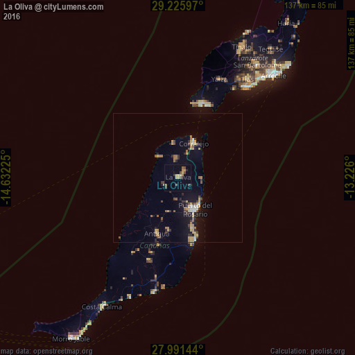
Analysis of La Oliva night lights 2016
Square area 10x10 km:
 0%
0%90-99
0%80-89
1.7%70-79
4.17%60-69
1.14%50-59
2.65%40-49
3.03%30-39
1.7%20-29
1.52%10-19
0.57%0-9
83.52%Square area 50x50 km:
0.18%90-99
0.37%80-89
0.78%70-79
0.8%60-69
0.55%50-59
0.57%40-49
0.6%30-39
0.72%20-29
0.75%10-19
2.88%0-9
91.8%Clear (daylight) street map image can be seen on geolist.org.
Map coordinates:
29° 13' 33.5" North, 14° 37' 56.1" West
28° 36' 37.9" North, 13° 55' 44.8" West
27° 59' 29.2" North, 13° 13' 33.6" West
Some cities around La Oliva sort by population:
• Puerto del Rosario
13.9 km =8.6 mi,  152°
152°
• Puerto del Carmen
43.2 km =26.8 mi,  36°
36°
• Pájara
33.8 km =21 mi,  211°
211°
• Tuineje
33.9 km =21.1 mi,  199°
199°
• Corralejo
14.7 km =9.1 mi,  24°
24°
• Antigua
22.4 km =13.9 mi, 201°
• Playa Blanca
29.9 km =18.6 mi, 19°
• Yaiza
41.7 km =25.9 mi, 22°
2515698 (p: 21,996)
Sources (retrieved 2019-11-25):
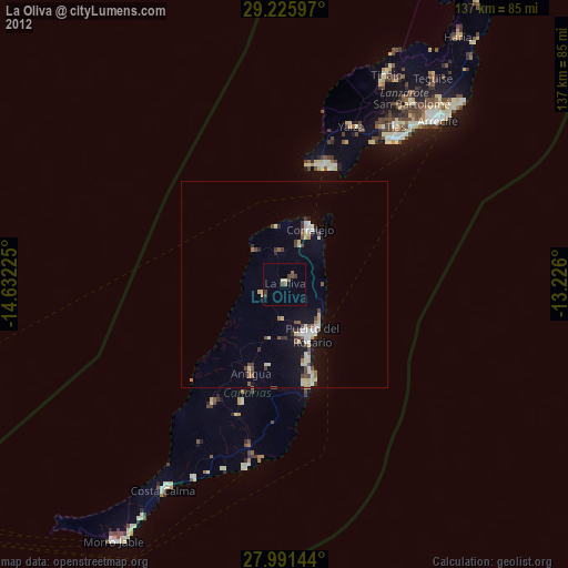
» Earth at Night: Flat Maps 2012, 2016