Laayoune night lights from space
Night Light of Laayoune from space (Western Sahara) Src. Average luminocity for 10x10km area is 55.8371% and for 50x50km: 3.8689%.
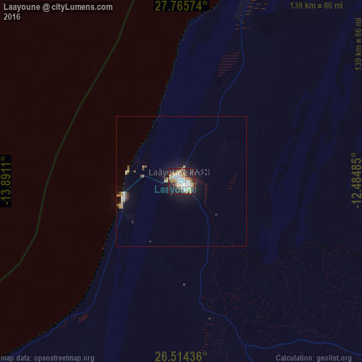
Analysis of Laayoune night lights 2016
Square area 10x10 km:
 14.77%
90-99
10.98%80-89
9.28%70-79
9.85%60-69
3.6%50-59
1.14%40-49
4.73%30-39
12.12%20-29
13.07%10-19
19.7%0-9
0.76%Square area 50x50 km:
0.68%90-99
0.54%80-89
0.58%70-79
0.69%60-69
0.17%50-59
0.2%40-49
0.44%30-39
0.56%20-29
0.83%10-19
3.03%0-9
92.28%Clear (daylight) street map image can be seen on geolist.org.
Map coordinates:
27° 45' 56.7" North, 13° 53' 28" West
27° 8' 30.5" North, 13° 11' 16.7" West
26° 30' 51.7" North, 12° 29' 5.5" West
Some cities around Laayoune sort by population:
• Smara, MA
156.8 km =97.4 mi,  106°
106°
• Puerto del Rosario, ES
165 km =102.5 mi,  336°
336°
• La Oliva, ES
178.8 km =111.1 mi, 335°
• Pájara, ES
162 km =100.7 mi,  326°
326°
• Tuineje, ES
156.3 km =97.1 mi, 327°
• Antigua, ES
164 km =101.9 mi, 330°
• Costa Calma, ES
152.7 km =94.9 mi,  317°
317°
• Tarfaya, MA
92.3 km =57.4 mi,  16°
16°
2462881 (p: 196,331)
Sources (retrieved 2019-11-25):
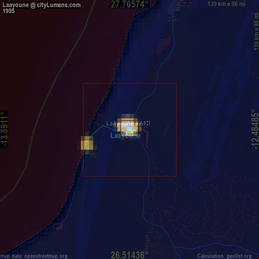
» NASA, Earths city lights 1995
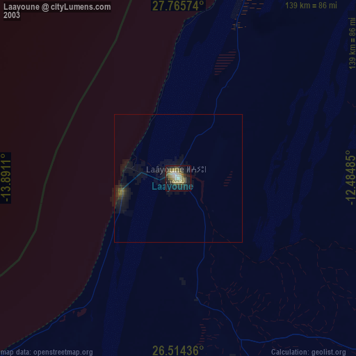
» NASA city lights 2003
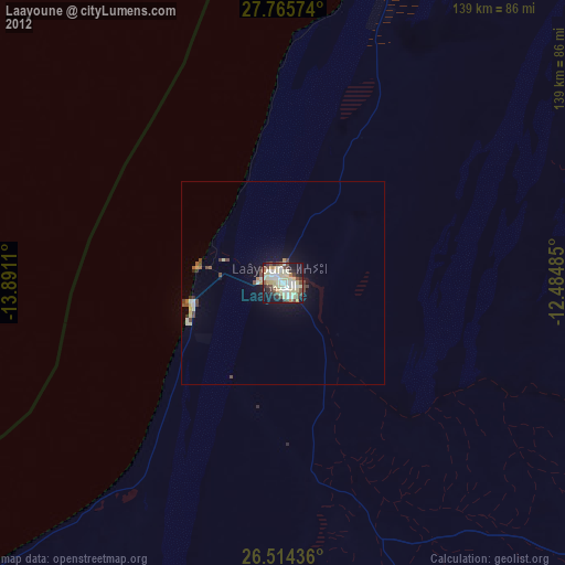
» Earth at Night: Flat Maps 2012, 2016