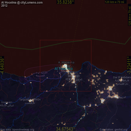
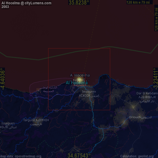
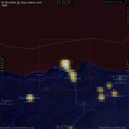
Al Hoceïma night lights from space
Night Light of Al Hoceïma (Tanger-Tetouan-Al Hoceima) from space (Morocco) Src. Average luminocity for 10x10km area is 25.3024% and for 50x50km: 3.6687%.
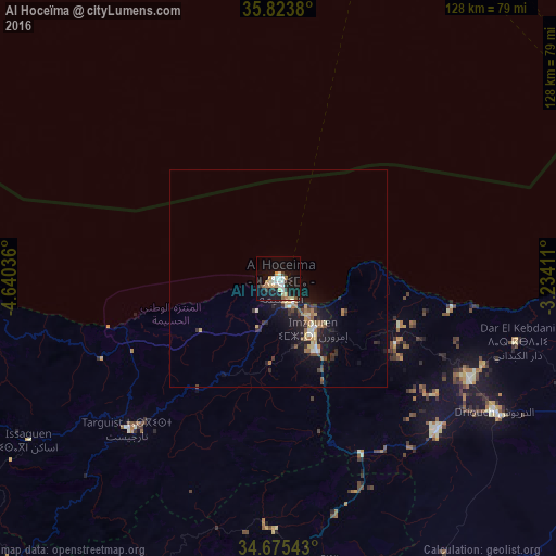
Analysis of Al Hoceïma night lights 2016
Square area 10x10 km:
 4.02%
4.02%90-99
4.55%80-89
3.85%70-79
3.67%60-69
2.97%50-59
1.92%40-49
0%30-39
2.62%20-29
2.97%10-19
31.29%0-9
42.13%Square area 50x50 km:
0.29%90-99
0.42%80-89
0.55%70-79
0.39%60-69
0.63%50-59
0.41%40-49
0.38%30-39
0.62%20-29
0.75%10-19
4.3%0-9
91.26%Clear (daylight) street map image can be seen on geolist.org.
Map coordinates:
35° 49' 25.7" North, 4° 38' 25.3" West
35° 15' 5.9" North, 3° 56' 14" West
34° 40' 31.5" North, 3° 14' 2.8" West
Some cities around Al Hoceïma sort by population:
• Nador
91.7 km =57 mi,  95°
95°
• Melilla, ES
90.8 km =56.4 mi,  87°
87°
• Tirhanimîne
2.3 km =1.4 mi,  222°
222°
• Imzouren
14.1 km =8.8 mi,  146°
146°
• Al Aaroui
88.5 km =55 mi,  107°
107°
• Bni Bouayach
18.5 km =11.5 mi, 151°
• Targuist
49.2 km =30.6 mi, 224°
• Midar
50.5 km =31.4 mi,  133°
133°
2558545 (p: 395,644)
Sources (retrieved 2019-11-25):
» NASA, Earths city lights 1995
» NASA city lights 2003
» Earth at Night: Flat Maps 2012, 2016