Idrī night lights from space
Night Light of Idrī (Ash Shāţiʼ) from space (Libya) Src. Average luminocity for 10x10km area is 7.4792% and for 50x50km: 0.524%.
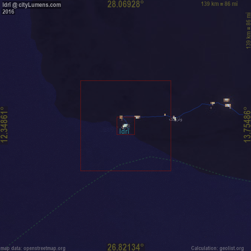
Analysis of Idrī night lights 2016
Square area 10x10 km:
100  1.14%
1.14%
90-99 1.14%
80-89 1.33%
70-79 0.19%
60-69 1.52%
50-59 0.76%
40-49 0.76%
30-39 0.76%
20-29 1.52%
10-19 0%
0-9 90.91%
1.14%90-99
1.14%80-89
1.33%70-79
0.19%60-69
1.52%50-59
0.76%40-49
0.76%30-39
0.76%20-29
1.52%10-19
0%0-9
90.91%Square area 50x50 km:
100 0.06%
90-99 0.06%
80-89 0.08%
70-79 0.1%
60-69 0.12%
50-59 0.07%
40-49 0.03%
30-39 0.03%
20-29 0.09%
10-19 0%
0-9 99.36%
0.06%90-99
0.06%80-89
0.08%70-79
0.1%60-69
0.12%50-59
0.07%40-49
0.03%30-39
0.03%20-29
0.09%10-19
0%0-9
99.36%Clear (daylight) street map image can be seen on geolist.org.
Map coordinates:
28° 4' 9.4" North, 12° 20' 55" East
27° 26' 49.5" North, 13° 3' 6.2" East
26° 49' 16.8" North, 13° 45' 17.5" East
Some cities around Idrī sort by population:
• Sabhā
143.5 km =89.2 mi,  108°
108°
• Al Jadīd
140.4 km =87.2 mi, 108°
• Murzuq
190.8 km =118.6 mi,  153°
153°
• Ubari
99.1 km =61.6 mi,  196°
196°
• Brak
120.8 km =75.1 mi,  84°
84°
• Waddān
357.3 km =222 mi,  57°
57°
• Ghat
397.9 km =247.2 mi,  226°
226°
• Hūn
339.5 km =211 mi, 56°
2220309 (p: 4,611)
Sources (retrieved 2019-11-25):
» Earth at Night: Flat Maps 2012, 2016