Smārde night lights from space
Night Light of Smārde (Engure) from space (Latvia) Src. Average luminocity for 10x10km area is 0% and for 50x50km: 0.806%.
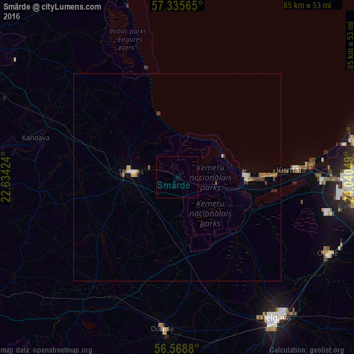
Analysis of Smārde night lights 2016
Square area 10x10 km:
100  0%
0%
90-99 0%
80-89 0%
70-79 0%
60-69 0%
50-59 0%
40-49 0%
30-39 0%
20-29 0%
10-19 0%
0-9 100%
0%90-99
0%80-89
0%70-79
0%60-69
0%50-59
0%40-49
0%30-39
0%20-29
0%10-19
0%0-9
100%Square area 50x50 km:
100 0.06%
90-99 0.09%
80-89 0.09%
70-79 0.11%
60-69 0.16%
50-59 0.1%
40-49 0.14%
30-39 0.15%
20-29 0.14%
10-19 0.05%
0-9 98.91%
0.06%90-99
0.09%80-89
0.09%70-79
0.11%60-69
0.16%50-59
0.1%40-49
0.14%30-39
0.15%20-29
0.14%10-19
0.05%0-9
98.91%Clear (daylight) street map image can be seen on geolist.org.
Map coordinates:
57° 20' 8.3" North, 22° 38' 3.3" East
56° 57' 15.1" North, 23° 20' 14.5" East
56° 34' 7.7" North, 24° 2' 25.8" East
Some cities around Smārde sort by population:
• Jūrmala
26.3 km =16.3 mi,  86°
86°
• Tukums
11.1 km =6.9 mi,  277°
277°
• Olaine
40.5 km =25.2 mi,  115°
115°
• Dobele
36.9 km =22.9 mi,  185°
185°
• Kandava
35.4 km =22 mi,  285°
285°
• Ozolnieki
39.7 km =24.7 mi,  137°
137°
• Piņķi
35 km =21.7 mi, 92°
• Jaunpils
31.7 km =19.7 mi,  218°
218°
455427 (p: 734)
Sources (retrieved 2019-11-25):
» Earth at Night: Flat Maps 2012, 2016