Piņķi night lights from space
Night Light of Piņķi (Babīte) from space (Latvia) Src. Average luminocity for 10x10km area is 23.6534% and for 50x50km: 12.7471%.
Analysis of Piņķi night lights 2016
Square area 10x10 km:
 4.32%
4.32%90-99
2.95%80-89
0.23%70-79
0.68%60-69
3.52%50-59
5.11%40-49
4.55%30-39
2.95%20-29
9.32%10-19
22.84%0-9
43.52%Square area 50x50 km:
3.66%90-99
2.89%80-89
0.88%70-79
0.94%60-69
1.17%50-59
1.22%40-49
1.2%30-39
1.6%20-29
3.06%10-19
5.42%0-9
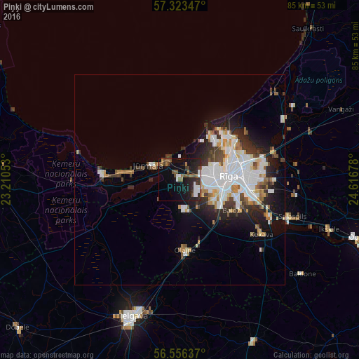
77.96%Clear (daylight) street map image can be seen on geolist.org.
Map coordinates:
57° 19' 24.5" North, 23° 12' 37.9" East
56° 56' 30.8" North, 23° 54' 49.1" East
56° 33' 22.9" North, 24° 37' 0.4" East
Some cities around Piņķi sort by population:
• Riga
11.7 km =7.3 mi,  87°
87°
• Jūrmala
9.2 km =5.7 mi,  288°
288°
• Bolderaja
13.2 km =8.2 mi,  40°
40°
• Olaine
16.4 km =10.2 mi,  175°
175°
• Daugavgrīva
13.5 km =8.4 mi,  33°
33°
• Ķekava
23.1 km =14.4 mi,  123°
123°
• Ulbroka
23.7 km =14.7 mi, 91°
• Mārupe
9.3 km =5.8 mi, 115°
456685 (p: 3,033)
Sources (retrieved 2019-11-25):
» Earth at Night: Flat Maps 2012, 2016