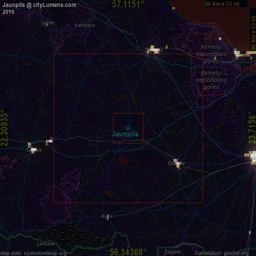
Jaunpils night lights from space
Night Light of Jaunpils from space (Latvia) Src. Average luminocity for 10x10km area is 0% and for 50x50km: 0.1724%.
Analysis of Jaunpils night lights 2016
Square area 10x10 km:
100  0%
0%
90-99 0%
80-89 0%
70-79 0%
60-69 0%
50-59 0%
40-49 0%
30-39 0%
20-29 0%
10-19 0%
0-9 100%
0%90-99
0%80-89
0%70-79
0%60-69
0%50-59
0%40-49
0%30-39
0%20-29
0%10-19
0%0-9
100%Square area 50x50 km:
100 0.01%
90-99 0.01%
80-89 0.04%
70-79 0%
60-69 0.05%
50-59 0.02%
40-49 0.03%
30-39 0.01%
20-29 0.02%
10-19 0.03%
0-9 99.77%
0.01%90-99
0.01%80-89
0.04%70-79
0%60-69
0.05%50-59
0.02%40-49
0.03%30-39
0.01%20-29
0.02%10-19
0.03%0-9
99.77%Clear (daylight) street map image can be seen on geolist.org.
Map coordinates:
57° 6' 54.4" North, 22° 18' 33.7" East
56° 43' 52.9" North, 23° 0' 44.9" East
56° 20' 37.2" North, 23° 42' 56.2" East
Some cities around Jaunpils sort by population:
• Tukums
27.7 km =17.2 mi,  18°
18°
• Saldus
32.9 km =20.4 mi,  256°
256°
• Dobele
20 km =12.4 mi,  126°
126°
• Kandava
37.3 km =23.2 mi,  337°
337°
• Brocēni
27.7 km =17.2 mi, 257°
• Auce
30.9 km =19.2 mi,  192°
192°
• Smārde
31.7 km =19.7 mi,  38°
38°
• Zelmeņi
37.4 km =23.2 mi,  146°
146°
459357 (p: 1,029)
Sources (retrieved 2019-11-25):
» Earth at Night: Flat Maps 2012, 2016