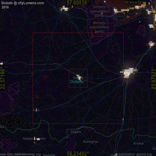
Dobele night lights from space
Night Light of Dobele (Dobeles novads) from space (Latvia) Src. Average luminocity for 10x10km area is 3.383% and for 50x50km: 0.2877%.
Analysis of Dobele night lights 2016
Square area 10x10 km:
 0.23%
0.23%90-99
0.23%80-89
0.91%70-79
0%60-69
1.25%50-59
0.57%40-49
0.68%30-39
0.34%20-29
0.45%10-19
0.34%0-9
95%Square area 50x50 km:
0.01%90-99
0.01%80-89
0.04%70-79
0.04%60-69
0.06%50-59
0.04%40-49
0.07%30-39
0.02%20-29
0.02%10-19
0.21%0-9
99.47%Clear (daylight) street map image can be seen on geolist.org.
Map coordinates:
57° 0' 30.8" North, 22° 34' 19.1" East
56° 37' 25.4" North, 23° 16' 30.4" East
56° 14' 5.7" North, 23° 58' 41.6" East
Some cities around Dobele sort by population:
• Jelgava
26.9 km =16.7 mi,  83°
83°
• Tukums
38.9 km =24.2 mi,  349°
349°
• Naujoji Akmene, LT
41.2 km =25.6 mi,  214°
214°
• Ozolnieki
31.5 km =19.6 mi, 76°
• Auce
29.3 km =18.2 mi,  231°
231°
• Jaunpils
20 km =12.4 mi,  306°
306°
• Smārde
36.9 km =22.9 mi,  5°
5°
• Zelmeņi
19.7 km =12.2 mi,  166°
166°
460312 (p: 11,225)
Sources (retrieved 2019-11-25):
» Earth at Night: Flat Maps 2012, 2016