Riga night lights from space
Night Light of Riga from space (Latvia) Src. Average luminocity for 10x10km area is 91.8159% and for 50x50km: 13.0861%.
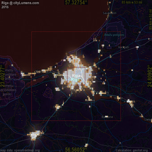
Analysis of Riga night lights 2016
Square area 10x10 km:
 51.82%
90-99
29.09%80-89
2.84%70-79
3.86%60-69
3.18%50-59
2.95%40-49
4.66%30-39
1.59%20-29
0%10-19
0%0-9
0%Square area 50x50 km:
3.68%90-99
2.91%80-89
0.98%70-79
0.92%60-69
1.24%50-59
1.41%40-49
1.26%30-39
1.57%20-29
3.05%10-19
5.41%0-9
77.55%Clear (daylight) street map image can be seen on geolist.org.
Map coordinates:
57° 19' 39.1" North, 23° 24' 10" East
56° 56' 45.6" North, 24° 6' 21.2" East
56° 33' 37.9" North, 24° 48' 32.5" East
Some cities around Riga sort by population:
• Salaspils
18.4 km =11.4 mi,  121°
121°
• Bolderaja
10 km =6.2 mi,  342°
342°
• Daugavgrīva
11.6 km =7.2 mi, 338°
• Ķekava
15.3 km =9.5 mi,  150°
150°
• Piņķi
11.7 km =7.3 mi,  267°
267°
• Ulbroka
12.1 km =7.5 mi,  95°
95°
• Berģi
12.5 km =7.8 mi,  69°
69°
• Mārupe
5.6 km =3.5 mi,  216°
216°
456172 (p: 742,572)
Sources (retrieved 2019-11-25):
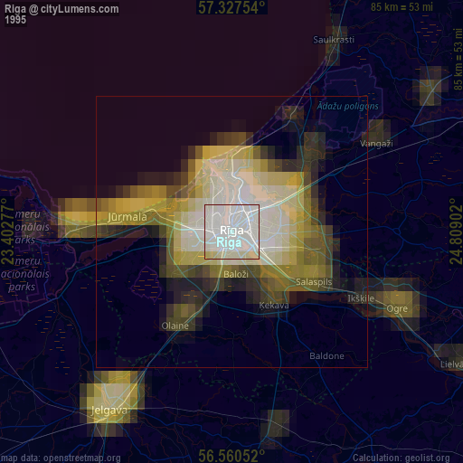
» NASA, Earths city lights 1995
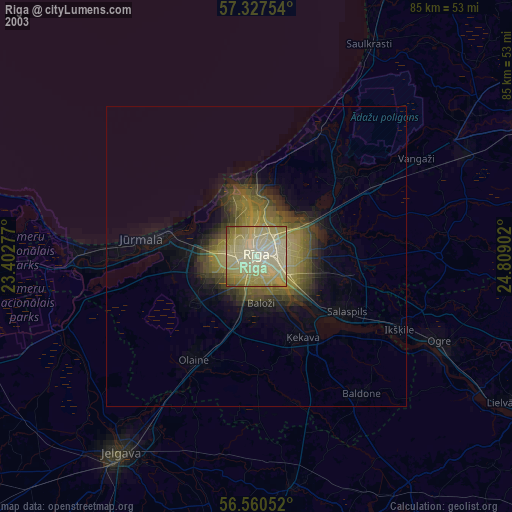
» NASA city lights 2003
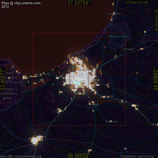
» Earth at Night: Flat Maps 2012, 2016