Daugavgrīva night lights from space
Night Light of Daugavgrīva (Riga) from space (Latvia) Src. Average luminocity for 10x10km area is 31.7739% and for 50x50km: 12.8023%.
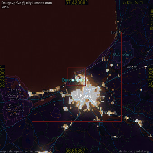
Analysis of Daugavgrīva night lights 2016
Square area 10x10 km:
 7.16%
7.16%90-99
6.82%80-89
3.41%70-79
3.86%60-69
1.93%50-59
2.73%40-49
1.93%30-39
5.34%20-29
10.45%10-19
20.34%0-9
36.02%Square area 50x50 km:
3.64%90-99
2.85%80-89
0.9%70-79
0.88%60-69
1.18%50-59
1.37%40-49
1.28%30-39
1.64%20-29
3.06%10-19
5.41%0-9
77.79%Clear (daylight) street map image can be seen on geolist.org.
Map coordinates:
57° 25' 25.3" North, 23° 19' 58.8" East
57° 2' 35.3" North, 24° 2' 10.1" East
56° 39' 31.2" North, 24° 44' 21.3" East
Some cities around Daugavgrīva sort by population:
• Riga
11.6 km =7.2 mi,  158°
158°
• Jūrmala
18.1 km =11.2 mi,  242°
242°
• Bolderaja
1.8 km =1.1 mi,  137°
137°
• Piņķi
13.5 km =8.4 mi,  213°
213°
• Ādaži
18.5 km =11.5 mi,  80°
80°
• Carnikava
17.8 km =11.1 mi,  57°
57°
• Berģi
17.1 km =10.6 mi,  111°
111°
• Mārupe
15.3 km =9.5 mi,  176°
176°
460416 (p: 9,952)
Sources (retrieved 2019-11-25):
» Earth at Night: Flat Maps 2012, 2016