Ulbroka night lights from space
Night Light of Ulbroka (Stopiņi) from space (Latvia) Src. Average luminocity for 10x10km area is 27.4818% and for 50x50km: 13.0412%.
Analysis of Ulbroka night lights 2016
Square area 10x10 km:
100  3.64%
3.64%
90-99 5.91%
80-89 2.05%
70-79 2.84%
60-69 3.64%
50-59 6.25%
40-49 2.73%
30-39 3.75%
20-29 9.2%
10-19 14.55%
0-9 45.45%
3.64%90-99
5.91%80-89
2.05%70-79
2.84%60-69
3.64%50-59
6.25%40-49
2.73%30-39
3.75%20-29
9.2%10-19
14.55%0-9
45.45%Square area 50x50 km:
100 3.76%
90-99 2.98%
80-89 1.02%
70-79 0.96%
60-69 1.09%
50-59 1.34%
40-49 1.23%
30-39 1.5%
20-29 2.96%
10-19 5.35%
0-9 77.82%
3.76%90-99
2.98%80-89
1.02%70-79
0.96%60-69
1.09%50-59
1.34%40-49
1.23%30-39
1.5%20-29
2.96%10-19
5.35%0-9
77.82%Clear (daylight) street map image can be seen on geolist.org.
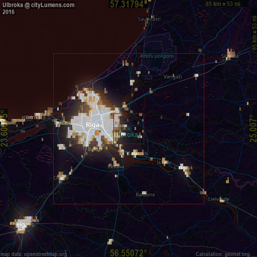
Map coordinates:
57° 19' 4.6" North, 23° 36' 2.7" East
56° 56' 10.7" North, 24° 18' 13.9" East
56° 33' 2.6" North, 25° 0' 25.2" East
Some cities around Ulbroka sort by population:
• Riga
12.1 km =7.5 mi,  275°
275°
• Salaspils
9.3 km =5.8 mi,  156°
156°
• Ķekava
13 km =8.1 mi,  200°
200°
• Ikšķile
16.3 km =10.1 mi,  134°
134°
• Mārupe
15.7 km =9.8 mi,  257°
257°
• Ādaži
15.1 km =9.4 mi,  7°
7°
• Garkalne
14 km =8.7 mi,  30°
30°
• Berģi
5.6 km =3.5 mi,  357°
357°
454714 (p: 2,800)
Sources (retrieved 2019-11-25):
» Earth at Night: Flat Maps 2012, 2016