Ragana night lights from space
Night Light of Ragana (Krimulda) from space (Latvia) Src. Average luminocity for 10x10km area is 0.5476% and for 50x50km: 0.8803%.
Analysis of Ragana night lights 2016
Square area 10x10 km:
 0%
0%90-99
0%80-89
0%70-79
0%60-69
0%50-59
0.24%40-49
0%30-39
0.83%20-29
0.12%10-19
0%0-9
98.81%Square area 50x50 km:
0.06%90-99
0.06%80-89
0.07%70-79
0.11%60-69
0.07%50-59
0.23%40-49
0.35%30-39
0.2%20-29
0.16%10-19
0.09%0-9
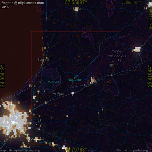
98.6%Clear (daylight) street map image can be seen on geolist.org.
Map coordinates:
57° 33' 35.5" North, 24° 0' 15.1" East
57° 10' 50.7" North, 24° 42' 26.3" East
56° 47' 51.6" North, 25° 24' 37.6" East
Some cities around Ragana sort by population:
• Sigulda
9.7 km =6 mi,  108°
108°
• Saulkrasti
19.8 km =12.3 mi,  297°
297°
• Inčukalns
9.2 km =5.7 mi,  187°
187°
• Līgatne
20.9 km =13 mi,  73°
73°
• Mālpils
24.3 km =15.1 mi,  141°
141°
• Ropaži
23.3 km =14.5 mi, 191°
• Garkalne
23 km =14.3 mi,  228°
228°
• Loja
4.9 km =3 mi, 231°
456341 (p: 0)
Sources (retrieved 2019-11-25):
» Earth at Night: Flat Maps 2012, 2016