Saulkrasti night lights from space
Night Light of Saulkrasti (Saulkrastu) from space (Latvia) Src. Average luminocity for 10x10km area is 1.5286% and for 50x50km: 1.21%.
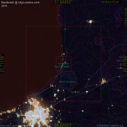
Analysis of Saulkrasti night lights 2016
Square area 10x10 km:
 0%
0%90-99
0%80-89
0%70-79
0%60-69
0%50-59
0.48%40-49
0%30-39
1.55%20-29
1.79%10-19
0.48%0-9
95.71%Square area 50x50 km:
0.12%90-99
0.14%80-89
0.12%70-79
0.04%60-69
0.11%50-59
0.25%40-49
0.2%30-39
0.23%20-29
0.49%10-19
0.92%0-9
97.38%Clear (daylight) street map image can be seen on geolist.org.
Map coordinates:
57° 38' 25.9" North, 23° 42' 41.7" East
57° 15' 44.1" North, 24° 24' 53" East
56° 52' 48.1" North, 25° 7' 4.2" East
Some cities around Saulkrasti sort by population:
• Sigulda
29.4 km =18.3 mi,  114°
114°
• Inčukalns
24.5 km =15.2 mi,  138°
138°
• Berģi
31.5 km =19.6 mi,  192°
192°
• Garkalne
24.2 km =15 mi,  179°
179°
• Ādaži
21.8 km =13.5 mi, 192°
• Ragana
19.8 km =12.3 mi,  117°
117°
• Loja
18.3 km =11.4 mi,  131°
131°
• Carnikava
16.7 km =10.4 mi,  208°
208°
455812 (p: 3,184)
Sources (retrieved 2019-11-25):
» Earth at Night: Flat Maps 2012, 2016