Inčukalns night lights from space
Night Light of Inčukalns from space (Latvia) Src. Average luminocity for 10x10km area is 1.5024% and for 50x50km: 1.3089%.
Analysis of Inčukalns night lights 2016
Square area 10x10 km:
100  0.6%
0.6%
90-99 0.36%
80-89 0%
70-79 0%
60-69 0%
50-59 0%
40-49 0.71%
30-39 0.24%
20-29 0%
10-19 0%
0-9 98.1%
0.6%90-99
0.36%80-89
0%70-79
0%60-69
0%50-59
0%40-49
0.71%30-39
0.24%20-29
0%10-19
0%0-9
98.1%Square area 50x50 km:
100 0.09%
90-99 0.12%
80-89 0.08%
70-79 0.12%
60-69 0.14%
50-59 0.33%
40-49 0.38%
30-39 0.27%
20-29 0.17%
10-19 0.77%
0-9 97.52%
0.09%90-99
0.12%80-89
0.08%70-79
0.12%60-69
0.14%50-59
0.33%40-49
0.38%30-39
0.27%20-29
0.17%10-19
0.77%0-9
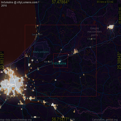
97.52%Clear (daylight) street map image can be seen on geolist.org.
Map coordinates:
57° 28' 43.1" North, 23° 58' 59.4" East
57° 5' 55.2" North, 24° 41' 10.7" East
56° 42' 53.2" North, 25° 23' 21.9" East
Some cities around Inčukalns sort by population:
• Sigulda
12.1 km =7.5 mi,  59°
59°
• Carnikava
24.5 km =15.2 mi,  277°
277°
• Ādaži
21.3 km =13.2 mi,  261°
261°
• Mālpils
19.1 km =11.9 mi,  120°
120°
• Garkalne
17.2 km =10.7 mi,  249°
249°
• Ropaži
14.2 km =8.8 mi,  193°
193°
• Ragana
9.2 km =5.7 mi,  7°
7°
• Loja
6.6 km =4.1 mi,  336°
336°
459563 (p: 2,028)
Sources (retrieved 2019-11-25):
» Earth at Night: Flat Maps 2012, 2016