Ropaži night lights from space
Night Light of Ropaži (Ropažu) from space (Latvia) Src. Average luminocity for 10x10km area is 0.825% and for 50x50km: 3.5169%.
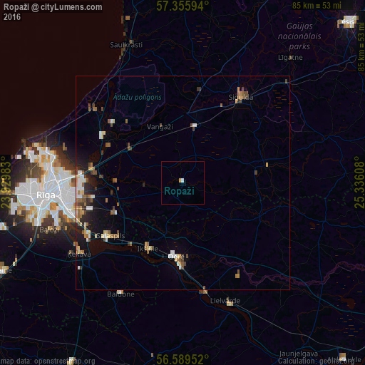
Analysis of Ropaži night lights 2016
Square area 10x10 km:
100  0.11%
0.11%
90-99 0.34%
80-89 0%
70-79 0.45%
60-69 0%
50-59 0%
40-49 0%
30-39 0%
20-29 0%
10-19 0%
0-9 99.09%
0.11%90-99
0.34%80-89
0%70-79
0.45%60-69
0%50-59
0%40-49
0%30-39
0%20-29
0%10-19
0%0-9
99.09%Square area 50x50 km:
100 0.35%
90-99 0.54%
80-89 0.44%
70-79 0.38%
60-69 0.45%
50-59 0.68%
40-49 0.64%
30-39 0.39%
20-29 0.7%
10-19 1.68%
0-9 93.74%
0.35%90-99
0.54%80-89
0.44%70-79
0.38%60-69
0.45%50-59
0.68%40-49
0.64%30-39
0.39%20-29
0.7%10-19
1.68%0-9
93.74%Clear (daylight) street map image can be seen on geolist.org.
Map coordinates:
57° 21' 21.4" North, 23° 55' 47.4" East
56° 58' 28.9" North, 24° 37' 58.6" East
56° 35' 22.3" North, 25° 20' 9.9" East
Some cities around Ropaži sort by population:
• Ogre
17.7 km =11 mi,  183°
183°
• Ikšķile
17.7 km =11 mi,  207°
207°
• Ulbroka
20.4 km =12.7 mi,  257°
257°
• Inčukalns
14.2 km =8.8 mi,  13°
13°
• Berģi
20.3 km =12.6 mi,  273°
273°
• Mālpils
20.1 km =12.5 mi,  78°
78°
• Loja
19.9 km =12.4 mi,  1°
1°
• Garkalne
15.1 km =9.4 mi,  301°
301°
456090 (p: 0)
Sources (retrieved 2019-11-25):
» Earth at Night: Flat Maps 2012, 2016