Mālpils night lights from space
Night Light of Mālpils from space (Latvia) Src. Average luminocity for 10x10km area is 0.5534% and for 50x50km: 0.7207%.
Analysis of Mālpils night lights 2016
Square area 10x10 km:
100  0%
0%
90-99 0%
80-89 0%
70-79 0.45%
60-69 0%
50-59 0%
40-49 0.45%
30-39 0%
20-29 0%
10-19 0%
0-9 99.09%
0%90-99
0%80-89
0%70-79
0.45%60-69
0%50-59
0%40-49
0.45%30-39
0%20-29
0%10-19
0%0-9
99.09%Square area 50x50 km:
100 0.09%
90-99 0.11%
80-89 0.04%
70-79 0.15%
60-69 0.05%
50-59 0.1%
40-49 0.23%
30-39 0.12%
20-29 0.02%
10-19 0.03%
0-9 99.06%
0.09%90-99
0.11%80-89
0.04%70-79
0.15%60-69
0.05%50-59
0.1%40-49
0.23%30-39
0.12%20-29
0.02%10-19
0.03%0-9
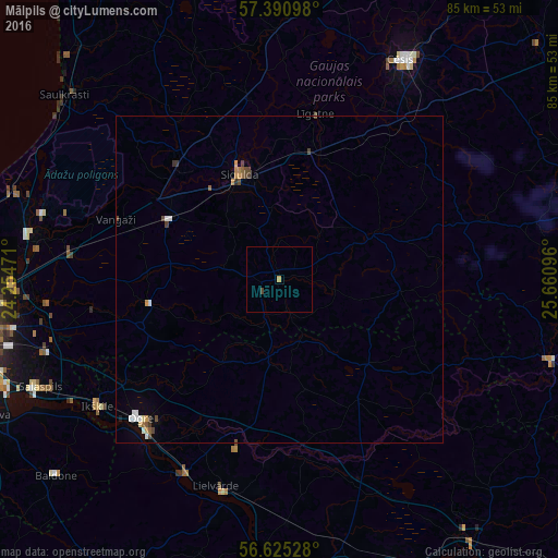
99.06%Clear (daylight) street map image can be seen on geolist.org.
Map coordinates:
57° 23' 27.5" North, 24° 15' 17" East
57° 0' 36.4" North, 24° 57' 28.2" East
56° 37' 31" North, 25° 39' 39.5" East
Some cities around Mālpils sort by population:
• Ogre
30 km =18.6 mi,  224°
224°
• Sigulda
17 km =10.6 mi,  339°
339°
• Inčukalns
19.1 km =11.9 mi,  300°
300°
• Līgatne
25.4 km =15.8 mi,  11°
11°
• Drabeši
32.3 km =20.1 mi,  36°
36°
• Loja
24.8 km =15.4 mi,  309°
309°
• Ragana
24.3 km =15.1 mi,  321°
321°
• Ropaži
20.1 km =12.5 mi,  258°
258°
457676 (p: 0)
Sources (retrieved 2019-11-25):
» Earth at Night: Flat Maps 2012, 2016