Pilsrundāle night lights from space
Night Light of Pilsrundāle (Rundāles) from space (Latvia) Src. Average luminocity for 10x10km area is 0% and for 50x50km: 0.6982%.
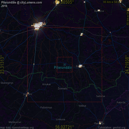
Analysis of Pilsrundāle night lights 2016
Square area 10x10 km:
 0%
0%90-99
0%80-89
0%70-79
0%60-69
0%50-59
0%40-49
0%30-39
0%20-29
0%10-19
0%0-9
100%Square area 50x50 km:
0.1%90-99
0.14%80-89
0.06%70-79
0.06%60-69
0.11%50-59
0.05%40-49
0.1%30-39
0.01%20-29
0.07%10-19
0.73%0-9
98.58%Clear (daylight) street map image can be seen on geolist.org.
Map coordinates:
56° 48' 18.2" North, 23° 18' 47.3" East
56° 25' 5.2" North, 24° 0' 58.5" East
56° 1' 38" North, 24° 43' 9.8" East
Some cities around Pilsrundāle sort by population:
• Jelgava
31.8 km =19.8 mi,  324°
324°
• Olaine
42.2 km =26.2 mi,  353°
353°
• Joniškis, LT
31.7 km =19.7 mi,  231°
231°
• Bauska
11 km =6.8 mi,  95°
95°
• Iecava
23.2 km =14.4 mi,  30°
30°
• Ozolnieki
33.6 km =20.9 mi,  334°
334°
• Vecumnieki
37.4 km =23.2 mi,  56°
56°
• Zelmeņi
41 km =25.5 mi,  275°
275°
456698 (p: 0)
Sources (retrieved 2019-11-25):
» Earth at Night: Flat Maps 2012, 2016