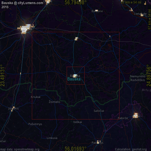
Bauska night lights from space
Night Light of Bauska (Bauskas Rajons) from space (Latvia) Src. Average luminocity for 10x10km area is 3.7119% and for 50x50km: 0.2668%.
Analysis of Bauska night lights 2016
Square area 10x10 km:
 0.71%
0.71%90-99
1.19%80-89
0%70-79
0.48%60-69
0%50-59
0.48%40-49
1.19%30-39
0.24%20-29
0%10-19
0%0-9
95.71%Square area 50x50 km:
0.03%90-99
0.07%80-89
0.03%70-79
0.02%60-69
0.04%50-59
0.06%40-49
0.05%30-39
0.01%20-29
0%10-19
0.02%0-9
99.68%Clear (daylight) street map image can be seen on geolist.org.
Map coordinates:
56° 47' 41.9" North, 23° 29' 28.7" East
56° 24' 28.6" North, 24° 11' 39.9" East
56° 1' 0.9" North, 24° 53' 51.2" East
Some cities around Bauska sort by population:
• Jelgava
40 km =24.9 mi,  312°
312°
• Joniškis, LT
40.3 km =25 mi,  242°
242°
• Pasvalys, LT
40.8 km =25.4 mi,  161°
161°
• Iecava
21.1 km =13.1 mi,  2°
2°
• Ozolnieki
40.5 km =25.2 mi,  320°
320°
• Vecumnieki
29.8 km =18.5 mi,  42°
42°
• Baldone
39.5 km =24.5 mi,  18°
18°
• Pilsrundāle
11 km =6.8 mi,  275°
275°
461114 (p: 10,532)
Sources (retrieved 2019-11-25):
» Earth at Night: Flat Maps 2012, 2016