Joniškis night lights from space
Night Light of Joniškis (Siauliai) from space (Lithuania) Src. Average luminocity for 10x10km area is 1.317% and for 50x50km: 0.0787%.
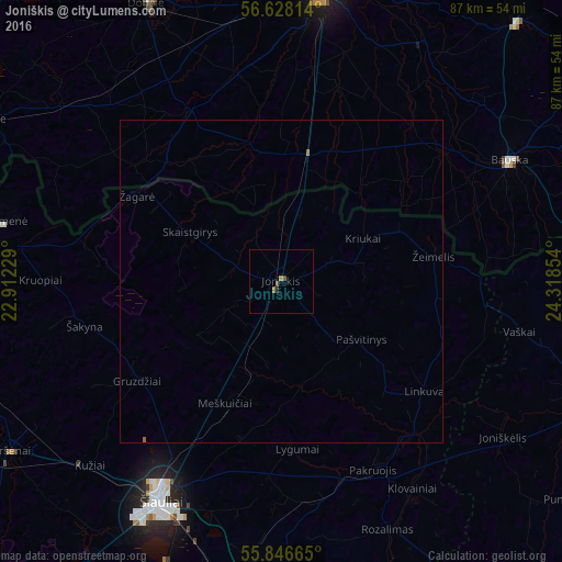
Analysis of Joniškis night lights 2016
Square area 10x10 km:
 0%
0%90-99
0%80-89
0%70-79
0%60-69
0.96%50-59
0.48%40-49
0.48%30-39
0%20-29
0.48%10-19
0%0-9
97.61%Square area 50x50 km:
0%90-99
0%80-89
0%70-79
0%60-69
0.06%50-59
0.04%40-49
0.02%30-39
0%20-29
0.02%10-19
0%0-9
99.87%Clear (daylight) street map image can be seen on geolist.org.
Map coordinates:
56° 37' 41.3" North, 22° 54' 44.2" East
56° 14' 21.8" North, 23° 36' 55.5" East
55° 50' 47.9" North, 24° 19' 6.7" East
Some cities around Joniškis sort by population:
• Šiauliai
38.7 km =24 mi,  208°
208°
• Jelgava, LV
46 km =28.6 mi,  7°
7°
• Radviliskis
47.3 km =29.4 mi,  186°
186°
• Naujoji Akmene
45 km =28 mi,  281°
281°
• Bauska, LV
40.3 km =25 mi,  62°
62°
• Pakruojis
32.6 km =20.3 mi,  152°
152°
• Pilsrundāle, LV
31.7 km =19.7 mi,  51°
51°
• Zelmeņi, LV
28.6 km =17.8 mi,  325°
325°
598796 (p: 11,113)
Sources (retrieved 2019-11-25):
» Earth at Night: Flat Maps 2012, 2016