Vecumnieki night lights from space
Night Light of Vecumnieki from space (Latvia) Src. Average luminocity for 10x10km area is 0.2432% and for 50x50km: 0.9749%.
Analysis of Vecumnieki night lights 2016
Square area 10x10 km:
 0%
0%90-99
0%80-89
0%70-79
0%60-69
0%50-59
0.45%40-49
0%30-39
0%20-29
0%10-19
0%0-9
99.55%Square area 50x50 km:
0.12%90-99
0.19%80-89
0.11%70-79
0.13%60-69
0.15%50-59
0.17%40-49
0.14%30-39
0.11%20-29
0.01%10-19
0.03%0-9
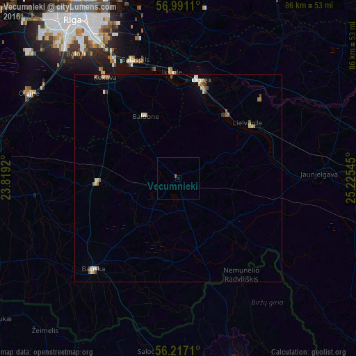
98.84%Clear (daylight) street map image can be seen on geolist.org.
Map coordinates:
56° 59' 28" North, 23° 49' 9.1" East
56° 36' 21.9" North, 24° 31' 20.4" East
56° 13' 1.6" North, 25° 13' 31.6" East
Some cities around Vecumnieki sort by population:
• Ogre
24 km =14.9 mi,  13°
13°
• Salaspils
29.8 km =18.5 mi,  341°
341°
• Bauska
29.8 km =18.5 mi,  222°
222°
• Lielvārde
21.6 km =13.4 mi,  53°
53°
• Iecava
19.3 km =12 mi,  267°
267°
• Ikšķile
25.4 km =15.8 mi,  356°
356°
• Ķegums
19.8 km =12.3 mi,  38°
38°
• Baldone
17.1 km =10.6 mi,  334°
334°
454273 (p: 2,487)
Sources (retrieved 2019-11-25):
» Earth at Night: Flat Maps 2012, 2016