Vecvārkava night lights from space
Night Light of Vecvārkava (Vārkava) from space (Latvia) Src. Average luminocity for 10x10km area is 0% and for 50x50km: 0.087%.
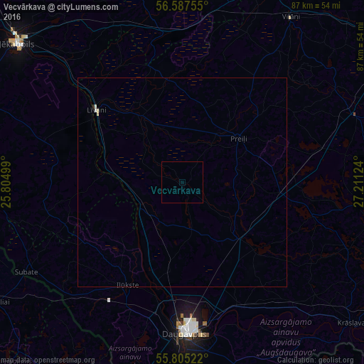
Analysis of Vecvārkava night lights 2016
Square area 10x10 km:
 0%
0%90-99
0%80-89
0%70-79
0%60-69
0%50-59
0%40-49
0%30-39
0%20-29
0%10-19
0%0-9
100%Square area 50x50 km:
0%90-99
0.04%80-89
0.04%70-79
0%60-69
0%50-59
0%40-49
0%30-39
0.02%20-29
0%10-19
0%0-9
99.9%Clear (daylight) street map image can be seen on geolist.org.
Map coordinates:
56° 35' 15.2" North, 25° 48' 18" East
56° 11' 54.2" North, 26° 30' 29.2" East
55° 48' 18.8" North, 27° 12' 40.5" East
Some cities around Vecvārkava sort by population:
• Daugavpils
35.1 km =21.8 mi,  177°
177°
• Līvāni
26.9 km =16.7 mi,  310°
310°
• Preiļi
17.1 km =10.6 mi,  51°
51°
• Viļāni
47 km =29.2 mi,  33°
33°
• Ilūkste
27.8 km =17.3 mi,  208°
208°
• Aknīste
47.2 km =29.3 mi,  265°
265°
• Aglona
31.7 km =19.7 mi,  103°
103°
• Riebiņi
24.1 km =15 mi, 48°
454372 (p: 0)
Sources (retrieved 2019-11-25):
» Earth at Night: Flat Maps 2012, 2016