Pasvalys night lights from space
Night Light of Pasvalys (Panevėžys) from space (Lithuania) Src. Average luminocity for 10x10km area is 1.762% and for 50x50km: 0.3745%.
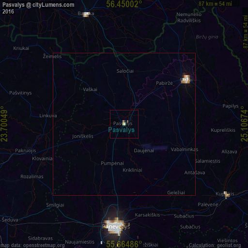
Analysis of Pasvalys night lights 2016
Square area 10x10 km:
 0%
0%90-99
0.24%80-89
0.72%70-79
0%60-69
0.48%50-59
0.24%40-49
0.24%30-39
0.48%20-29
0%10-19
0%0-9
97.61%Square area 50x50 km:
0.03%90-99
0.09%80-89
0.05%70-79
0.04%60-69
0.06%50-59
0.07%40-49
0.02%30-39
0.02%20-29
0.06%10-19
0%0-9
99.56%Clear (daylight) street map image can be seen on geolist.org.
Map coordinates:
56° 27' 0.1" North, 23° 42' 1.8" East
56° 3' 34" North, 24° 24' 13" East
55° 39' 53.5" North, 25° 6' 24.3" East
Some cities around Pasvalys sort by population:
• Panevėžys
36.4 km =22.6 mi,  185°
185°
• Birzai
26.6 km =16.5 mi,  53°
53°
• Joniškis
52.8 km =32.8 mi,  292°
292°
• Bauska, LV
40.8 km =25.4 mi,  341°
341°
• Kupiskis
43.4 km =27 mi,  124°
124°
• Pakruojis
35.2 km =21.9 mi,  255°
255°
• Nereta, LV
58.2 km =36.2 mi,  74°
74°
• Pilsrundāle, LV
46.5 km =28.9 mi,  329°
329°
595997 (p: 8,510)
Sources (retrieved 2019-11-25):
» Earth at Night: Flat Maps 2012, 2016