Utena night lights from space
Night Light of Utena from space (Lithuania) Src. Average luminocity for 10x10km area is 12.3509% and for 50x50km: 0.5029%.
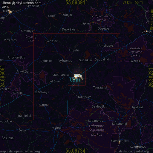
Analysis of Utena night lights 2016
Square area 10x10 km:
 2.26%
2.26%90-99
3.13%80-89
1.5%70-79
0.88%60-69
1%50-59
0.75%40-49
1%30-39
1%20-29
0%10-19
4.14%0-9
84.34%Square area 50x50 km:
0.09%90-99
0.12%80-89
0.06%70-79
0.03%60-69
0.04%50-59
0.03%40-49
0.04%30-39
0.04%20-29
0%10-19
0.16%0-9
99.39%Clear (daylight) street map image can be seen on geolist.org.
Map coordinates:
55° 53' 38.1" North, 24° 53' 45.8" East
55° 29' 51.5" North, 25° 35' 57" East
55° 5' 50.4" North, 26° 18' 8.3" East
Some cities around Utena sort by population:
• Visaginas
54 km =33.6 mi,  78°
78°
• Rokiškis
51.3 km =31.9 mi,  359°
359°
• Anyksciai
31.4 km =19.5 mi,  275°
275°
• Zarasai
48.5 km =30.1 mi,  57°
57°
• Molėtai
32.5 km =20.2 mi,  200°
200°
• Švenčionėliai
45.2 km =28.1 mi,  145°
145°
• Ignalina
39.5 km =24.5 mi,  116°
116°
• Švenčionys
53.7 km =33.4 mi,  138°
138°
593672 (p: 33,240)
Sources (retrieved 2019-11-25):
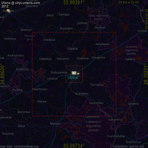
» Earth at Night: Flat Maps 2012, 2016