Rokiškis night lights from space
Night Light of Rokiškis (Panevėžys) from space (Lithuania) Src. Average luminocity for 10x10km area is 2.9248% and for 50x50km: 0.1125%.
Analysis of Rokiškis night lights 2016
Square area 10x10 km:
 0.25%
0.25%90-99
0.75%80-89
0%70-79
0.5%60-69
0.13%50-59
0.63%40-49
1.13%30-39
0.63%20-29
0%10-19
0%0-9
95.99%Square area 50x50 km:
0.01%90-99
0.03%80-89
0%70-79
0.02%60-69
0%50-59
0.02%40-49
0.04%30-39
0.02%20-29
0%10-19
0%0-9
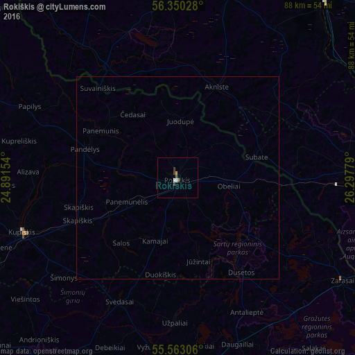
99.85%Clear (daylight) street map image can be seen on geolist.org.
Map coordinates:
56° 21' 1" North, 24° 53' 29.5" East
55° 57' 31.2" North, 25° 35' 40.8" East
55° 33' 47" North, 26° 17' 52" East
Some cities around Rokiškis sort by population:
• Utena
51.3 km =31.9 mi,  179°
179°
• Līvāni, LV
56.8 km =35.3 mi,  39°
39°
• Kupiskis
40.5 km =25.2 mi,  251°
251°
• Zarasai
48.1 km =29.9 mi,  121°
121°
• Ilūkste, LV
43.7 km =27.2 mi,  87°
87°
• Viesīte, LV
43.3 km =26.9 mi,  356°
356°
• Aknīste, LV
24.5 km =15.2 mi,  22°
22°
• Nereta, LV
32.5 km =20.2 mi,  326°
326°
595213 (p: 16,255)
Sources (retrieved 2019-11-25):
» Earth at Night: Flat Maps 2012, 2016