Molėtai night lights from space
Night Light of Molėtai (Utena) from space (Lithuania) Src. Average luminocity for 10x10km area is 0.0933% and for 50x50km: 0.0077%.
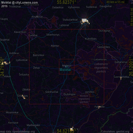
Analysis of Molėtai night lights 2016
Square area 10x10 km:
 0%
0%90-99
0%80-89
0%70-79
0%60-69
0%50-59
0%40-49
0%30-39
0%20-29
0%10-19
0.48%0-9
99.52%Square area 50x50 km:
0%90-99
0%80-89
0%70-79
0%60-69
0%50-59
0%40-49
0%30-39
0%20-29
0%10-19
0.02%0-9
99.98%Clear (daylight) street map image can be seen on geolist.org.
Map coordinates:
55° 37' 25.4" North, 24° 42' 49.5" East
55° 13' 28.9" North, 25° 25' 0.8" East
54° 49' 17.9" North, 26° 7' 12" East
Some cities around Molėtai sort by population:
• Utena
32.5 km =20.2 mi,  20°
20°
• Ukmerge
42.4 km =26.3 mi,  273°
273°
• Anyksciai
38.9 km =24.2 mi,  329°
329°
• Širvintos
35.6 km =22.1 mi,  235°
235°
• Švenčionėliai
37.8 km =23.5 mi,  100°
100°
• Pabradė
34.8 km =21.6 mi,  141°
141°
• Nemenčinė
42 km =26.1 mi,  175°
175°
• Švenčionys
48.2 km =30 mi, 101°
596867 (p: 7,243)
Sources (retrieved 2019-11-25):
» Earth at Night: Flat Maps 2012, 2016