Anyksciai night lights from space
Night Light of Anyksciai (Utena) from space (Lithuania) Src. Average luminocity for 10x10km area is 0.1078% and for 50x50km: 0.0042%.
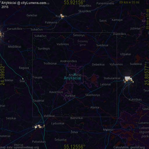
Analysis of Anyksciai night lights 2016
Square area 10x10 km:
 0%
0%90-99
0%80-89
0%70-79
0%60-69
0%50-59
0%40-49
0%30-39
0%20-29
0.25%10-19
0.25%0-9
99.5%Square area 50x50 km:
0%90-99
0%80-89
0%70-79
0%60-69
0%50-59
0%40-49
0%30-39
0%20-29
0.01%10-19
0.01%0-9
99.98%Clear (daylight) street map image can be seen on geolist.org.
Map coordinates:
55° 55' 17.6" North, 24° 23' 58.3" East
55° 31' 32.1" North, 25° 6' 9.5" East
55° 7' 32" North, 25° 48' 20.8" East
Some cities around Anyksciai sort by population:
• Panevėžys
52.6 km =32.7 mi,  296°
296°
• Utena
31.4 km =19.5 mi,  95°
95°
• Ukmerge
37.9 km =23.5 mi,  216°
216°
• Rokiškis
57.2 km =35.5 mi,  32°
32°
• Kupiskis
35.8 km =22.2 mi,  347°
347°
• Širvintos
54.4 km =33.8 mi,  189°
189°
• Molėtai
38.9 km =24.2 mi,  149°
149°
• Ignalina
69.8 km =43.4 mi,  107°
107°
600994 (p: 11,958)
Sources (retrieved 2019-11-25):
» Earth at Night: Flat Maps 2012, 2016