Švenčionys night lights from space
Night Light of Švenčionys (Vilnius) from space (Lithuania) Src. Average luminocity for 10x10km area is 0.99% and for 50x50km: 0.0758%.
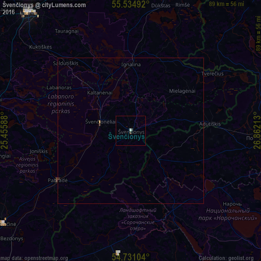
Analysis of Švenčionys night lights 2016
Square area 10x10 km:
 0%
0%90-99
0.5%80-89
0%70-79
0%60-69
0%50-59
0%40-49
0%30-39
1%20-29
0%10-19
0%0-9
98.5%Square area 50x50 km:
0%90-99
0.02%80-89
0%70-79
0.02%60-69
0%50-59
0%40-49
0.02%30-39
0.05%20-29
0.02%10-19
0%0-9
99.86%Clear (daylight) street map image can be seen on geolist.org.
Map coordinates:
55° 32' 5.7" North, 25° 27' 21.2" East
55° 8' 6" North, 26° 9' 32.4" East
54° 43' 51.7" North, 26° 51' 43.7" East
Some cities around Švenčionys sort by population:
• Utena
53.7 km =33.4 mi,  318°
318°
• Visaginas
54.3 km =33.7 mi,  19°
19°
• Pastavy, BY
42.9 km =26.7 mi,  92°
92°
• Molėtai
48.2 km =30 mi,  281°
281°
• Vishnyeva, BY
52.6 km =32.7 mi,  153°
153°
• Ignalina
22.9 km =14.2 mi,  0°
0°
• Pabradė
30.6 km =19 mi,  235°
235°
• Nemenčinė
54.3 km =33.7 mi,  233°
233°
594064 (p: 5,538)
Sources (retrieved 2019-11-25):
» Earth at Night: Flat Maps 2012, 2016