Ukmerge night lights from space
Night Light of Ukmerge (Vilnius) from space (Lithuania) Src. Average luminocity for 10x10km area is 3.7309% and for 50x50km: 0.2615%.
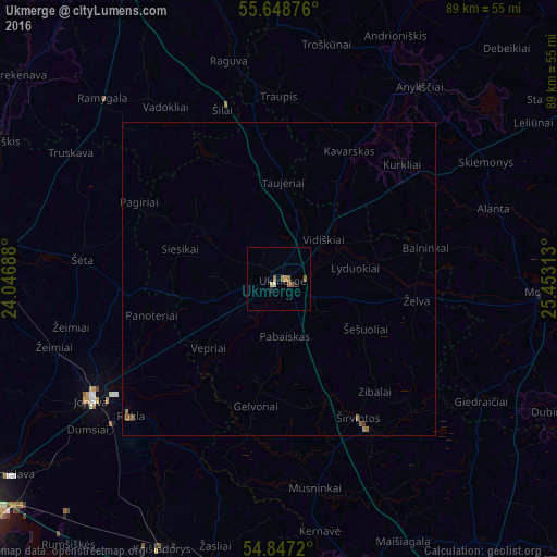
Analysis of Ukmerge night lights 2016
Square area 10x10 km:
 0%
0%90-99
0.48%80-89
0.48%70-79
0.48%60-69
1.91%50-59
0.96%40-49
0%30-39
0%20-29
0.96%10-19
0%0-9
94.74%Square area 50x50 km:
0%90-99
0.02%80-89
0.02%70-79
0.02%60-69
0.13%50-59
0.12%40-49
0.02%30-39
0.02%20-29
0.04%10-19
0%0-9
99.61%Clear (daylight) street map image can be seen on geolist.org.
Map coordinates:
55° 38' 55.5" North, 24° 2' 48.8" East
55° 15' 0" North, 24° 45' 0" East
54° 50' 49.9" North, 25° 27' 11.3" East
Some cities around Ukmerge sort by population:
• Jonava
35 km =21.7 mi,  237°
237°
• Kėdainiai
49.4 km =30.7 mi,  274°
274°
• Elektrėnai
52 km =32.3 mi,  186°
186°
• Anyksciai
37.9 km =23.5 mi,  36°
36°
• Kaišiadorys
46.4 km =28.8 mi,  202°
202°
• Širvintos
26.3 km =16.3 mi,  150°
150°
• Molėtai
42.4 km =26.3 mi,  93°
93°
• Vievis
53.8 km =33.4 mi,  176°
176°
593733 (p: 25,886)
Sources (retrieved 2019-11-25):
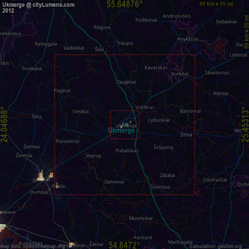
» Earth at Night: Flat Maps 2012, 2016