Pabradė night lights from space
Night Light of Pabradė (Vilnius) from space (Lithuania) Src. Average luminocity for 10x10km area is 0.6986% and for 50x50km: 0.2861%.
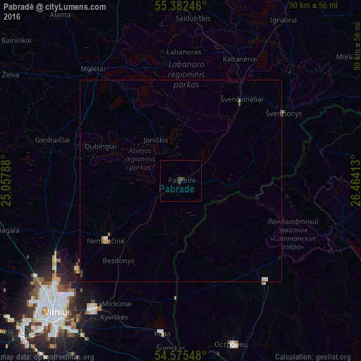
Analysis of Pabradė night lights 2016
Square area 10x10 km:
 0%
0%90-99
0%80-89
0%70-79
0%60-69
0%50-59
0%40-49
0.24%30-39
1.2%20-29
0.48%10-19
0%0-9
98.09%Square area 50x50 km:
0.04%90-99
0.05%80-89
0.01%70-79
0.04%60-69
0.04%50-59
0.03%40-49
0.09%30-39
0.05%20-29
0.02%10-19
0.02%0-9
99.61%Clear (daylight) street map image can be seen on geolist.org.
Map coordinates:
55° 22' 56.9" North, 25° 3' 28.4" East
54° 58' 51.6" North, 25° 45' 39.6" East
54° 34' 31.7" North, 26° 27' 50.9" East
Some cities around Pabradė sort by population:
• Fabijoniškės
43.2 km =26.8 mi,  230°
230°
• Pašilaičiai
44.2 km =27.5 mi, 231°
• Rasos
44.2 km =27.5 mi,  220°
220°
• Astravyets, BY
42.7 km =26.5 mi,  163°
163°
• Molėtai
34.8 km =21.6 mi,  321°
321°
• Švenčionėliai
25.3 km =15.7 mi,  37°
37°
• Nemenčinė
23.8 km =14.8 mi, 231°
• Švenčionys
30.6 km =19 mi,  55°
55°
596473 (p: 6,375)
Sources (retrieved 2019-11-25):
» Earth at Night: Flat Maps 2012, 2016