Panevėžys night lights from space
Night Light of Panevėžys from space (Lithuania) Src. Average luminocity for 10x10km area is 33.8577% and for 50x50km: 1.5453%.
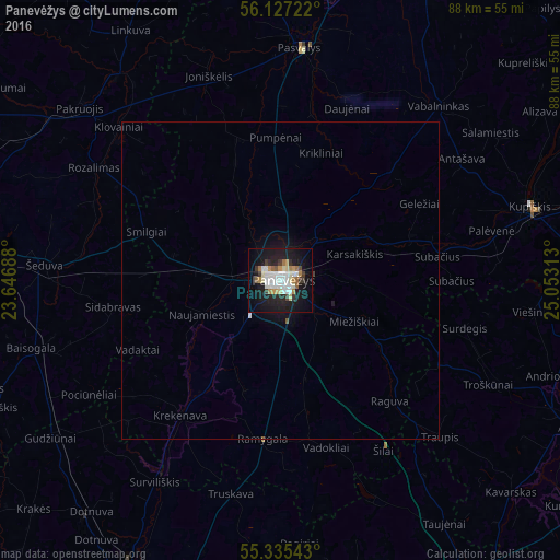
Analysis of Panevėžys night lights 2016
Square area 10x10 km:
 7.3%
7.3%90-99
8.73%80-89
2.15%70-79
3.35%60-69
4.31%50-59
1.91%40-49
0.96%30-39
4.67%20-29
6.1%10-19
35.41%0-9
25.12%Square area 50x50 km:
0.29%90-99
0.37%80-89
0.09%70-79
0.14%60-69
0.17%50-59
0.11%40-49
0.05%30-39
0.2%20-29
0.25%10-19
1.7%0-9
96.64%Clear (daylight) street map image can be seen on geolist.org.
Map coordinates:
56° 7' 38" North, 23° 38' 48.8" East
55° 43' 60" North, 24° 21' 0" East
55° 20' 7.5" North, 25° 3' 11.3" East
Some cities around Panevėžys sort by population:
• Kėdainiai
54.9 km =34.1 mi,  205°
205°
• Ukmerge
59.4 km =36.9 mi,  154°
154°
• Radviliskis
51.9 km =32.2 mi,  280°
280°
• Birzai
57.6 km =35.8 mi,  25°
25°
• Anyksciai
52.6 km =32.7 mi,  116°
116°
• Pasvalys
36.4 km =22.6 mi,  5°
5°
• Kupiskis
41.1 km =25.5 mi,  73°
73°
• Pakruojis
41.2 km =25.6 mi,  311°
311°
596128 (p: 117,395)
Sources (retrieved 2019-11-25):
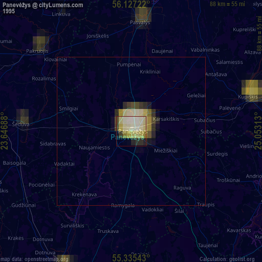
» NASA, Earths city lights 1995
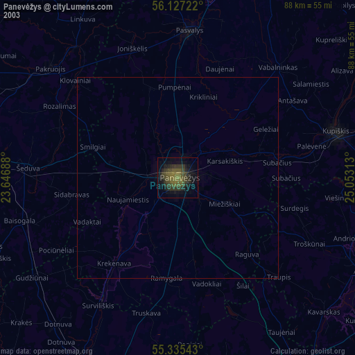
» NASA city lights 2003
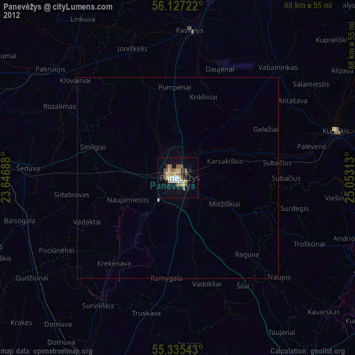
» Earth at Night: Flat Maps 2012, 2016