Welisara night lights from space
Night Light of Welisara (Western) from space (Sri Lanka) Src. Average luminocity for 10x10km area is 77.6818% and for 50x50km: 29.7451%.
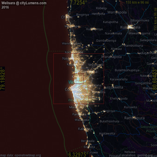
Analysis of Welisara night lights 2016
Square area 10x10 km:
 12.34%
90-99
19.7%80-89
11.26%70-79
24.24%60-69
18.83%50-59
8.66%40-49
3.25%30-39
1.73%20-29
0%10-19
0%0-9
0%Square area 50x50 km:
4.54%90-99
5.17%80-89
3.83%70-79
5.12%60-69
5.66%50-59
4.68%40-49
4.49%30-39
4.22%20-29
6.35%10-19
9.06%0-9
46.86%Clear (daylight) street map image can be seen on geolist.org.
Map coordinates:
7° 43' 31.4" North, 79° 11' 53.8" East
7° 1' 41.2" North, 79° 54' 5" East
6° 19' 47.1" North, 80° 36' 16.3" East
Some cities around Welisara sort by population:
• Kolonnawa
10.7 km =6.6 mi,  189°
189°
• Hendala
4.6 km =2.9 mi,  206°
206°
• Mulleriyawa
11 km =6.8 mi,  163°
163°
• Kandana
2.4 km =1.5 mi,  338°
338°
• Ja Ela
5.3 km =3.3 mi,  348°
348°
• Wattala
4.5 km =2.8 mi, 193°
• Peliyagoda
6.9 km =4.3 mi,  196°
196°
• Kelaniya
8.4 km =5.2 mi, 164°
1223648 (p: 41,306)
Sources (retrieved 2019-11-25):
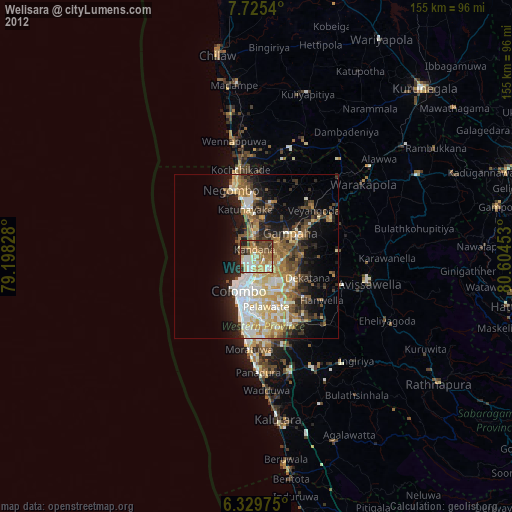
» Earth at Night: Flat Maps 2012, 2016