Kelaniya night lights from space
Night Light of Kelaniya (Western) from space (Sri Lanka) Src. Average luminocity for 10x10km area is 89.842% and for 50x50km: 29.2833%.
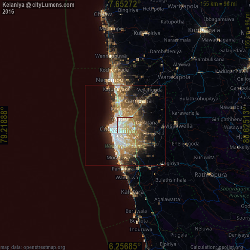
Analysis of Kelaniya night lights 2016
Square area 10x10 km:
 26.62%
90-99
29.65%80-89
24.89%70-79
16.02%60-69
2.81%50-59
0%40-49
0%30-39
0%20-29
0%10-19
0%0-9
0%Square area 50x50 km:
4.39%90-99
4.98%80-89
3.66%70-79
4.79%60-69
5.53%50-59
4.96%40-49
4.67%30-39
4.21%20-29
6.59%10-19
9.32%0-9
46.9%Clear (daylight) street map image can be seen on geolist.org.
Map coordinates:
7° 39' 9.8" North, 79° 13' 8" East
6° 57' 19.1" North, 79° 55' 19.2" East
6° 15' 24.7" North, 80° 37' 30.5" East
Some cities around Kelaniya sort by population:
• Pita Kotte
7.6 km =4.7 mi,  197°
197°
• Battaramulla South
6.6 km =4.1 mi,  183°
183°
• Kotikawatta
3.4 km =2.1 mi, 203°
• Kolonnawa
4.8 km =3 mi,  238°
238°
• Hendala
5.8 km =3.6 mi,  312°
312°
• Mulleriyawa
2.6 km =1.6 mi,  161°
161°
• Wattala
5 km =3.1 mi,  318°
318°
• Peliyagoda
4.5 km =2.8 mi,  289°
289°
1240622 (p: 28,846)
Sources (retrieved 2019-11-25):
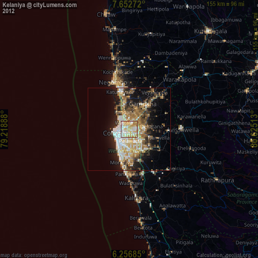
» Earth at Night: Flat Maps 2012, 2016