Peliyagoda night lights from space
Night Light of Peliyagoda (Western) from space (Sri Lanka) Src. Average luminocity for 10x10km area is 86.2359% and for 50x50km: 29.2108%.
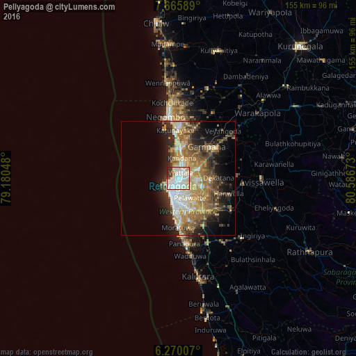
Analysis of Peliyagoda night lights 2016
Square area 10x10 km:
 38.31%
90-99
30.74%80-89
10.82%70-79
4.11%60-69
0.65%50-59
1.52%40-49
2.6%30-39
6.93%20-29
4.33%10-19
0%0-9
0%Square area 50x50 km:
4.44%90-99
5.03%80-89
3.65%70-79
4.77%60-69
5.7%50-59
4.82%40-49
4.57%30-39
4.12%20-29
6.59%10-19
9.1%0-9
47.2%Clear (daylight) street map image can be seen on geolist.org.
Map coordinates:
7° 39' 57.2" North, 79° 10' 49.7" East
6° 58' 6.6" North, 79° 53' 1" East
6° 16' 12.3" North, 80° 35' 12.2" East
Some cities around Peliyagoda sort by population:
• Colombo
5.3 km =3.3 mi,  226°
226°
• Kotikawatta
5.4 km =3.4 mi,  148°
148°
• Kolonnawa
4 km =2.5 mi,  178°
178°
• Hendala
2.5 km =1.6 mi,  358°
358°
• Welisara
6.9 km =4.3 mi,  16°
16°
• Mulleriyawa
6.4 km =4 mi,  127°
127°
• Wattala
2.5 km =1.6 mi, 21°
• Kelaniya
4.5 km =2.8 mi,  109°
109°
1230613 (p: 30,717)
Sources (retrieved 2019-11-25):
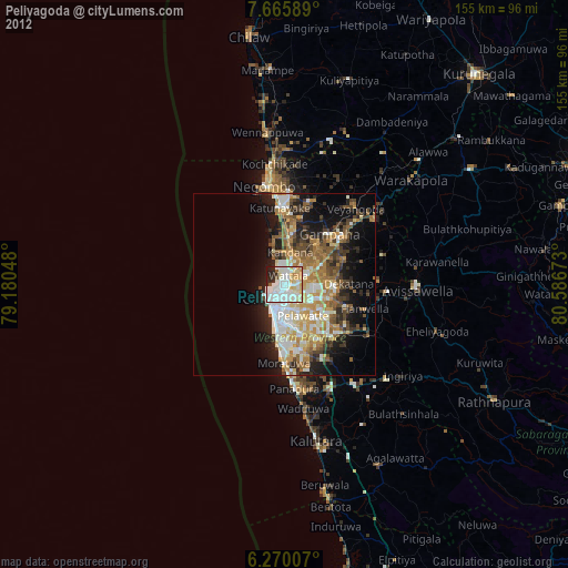
» Earth at Night: Flat Maps 2012, 2016