Mulleriyawa night lights from space
Night Light of Mulleriyawa (Western) from space (Sri Lanka) Src. Average luminocity for 10x10km area is 88.3528% and for 50x50km: 28.8599%.
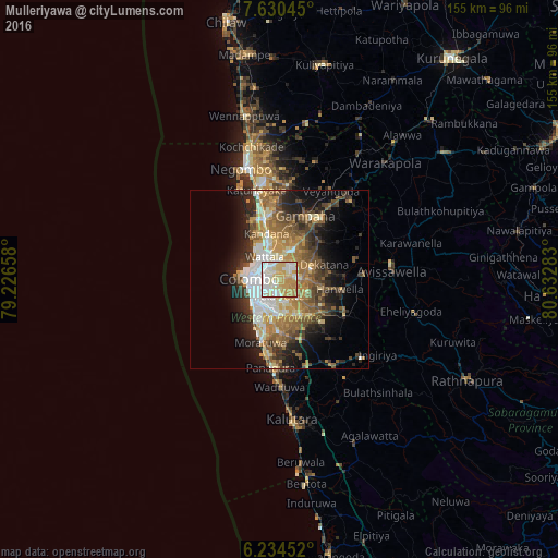
Analysis of Mulleriyawa night lights 2016
Square area 10x10 km:
 22.94%
90-99
26.84%80-89
25.97%70-79
19.26%60-69
4.98%50-59
0%40-49
0%30-39
0%20-29
0%10-19
0%0-9
0%Square area 50x50 km:
4.32%90-99
4.87%80-89
3.62%70-79
4.54%60-69
5.45%50-59
5.02%40-49
4.59%30-39
4.08%20-29
6.59%10-19
9.83%0-9
47.1%Clear (daylight) street map image can be seen on geolist.org.
Map coordinates:
7° 37' 49.6" North, 79° 13' 35.7" East
6° 55' 58.8" North, 79° 55' 46.9" East
6° 14' 4.3" North, 80° 37' 58.2" East
Some cities around Mulleriyawa sort by population:
• Pita Kotte
5.7 km =3.5 mi,  213°
213°
• Sri Jayewardenepura Kotte
6.1 km =3.8 mi,  204°
204°
• Battaramulla South
4.3 km =2.7 mi, 197°
• Kotikawatta
2.3 km =1.4 mi,  253°
253°
• Kolonnawa
5 km =3.1 mi,  269°
269°
• Wattala
7.5 km =4.7 mi,  326°
326°
• Peliyagoda
6.4 km =4 mi,  307°
307°
• Kelaniya
2.6 km =1.6 mi,  341°
341°
1234378 (p: 33,540)
Sources (retrieved 2019-11-25):
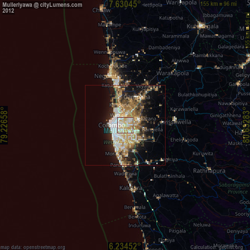
» Earth at Night: Flat Maps 2012, 2016