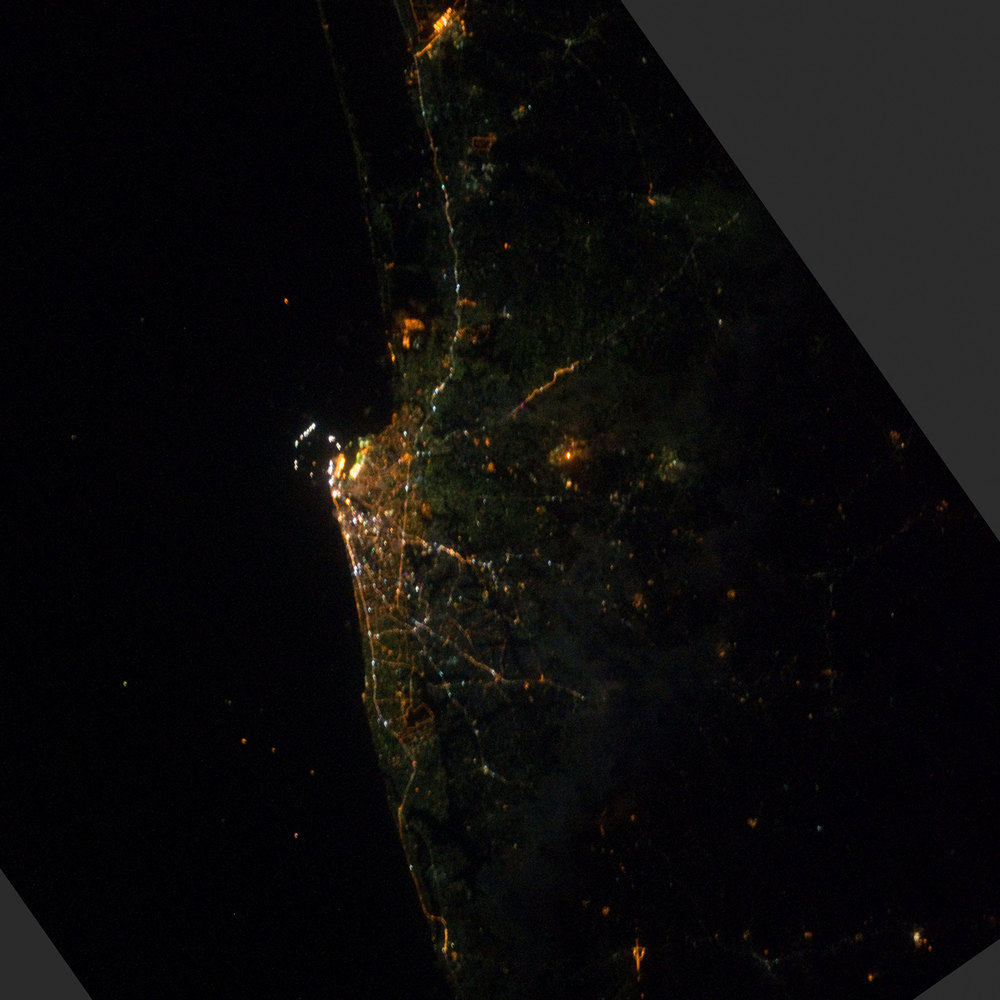
Colombo night lights from space
Night Light of Colombo (Western) from space (Sri Lanka) Src. Average luminocity for 10x10km area is 70.5779% and for 50x50km: 27.9553%.
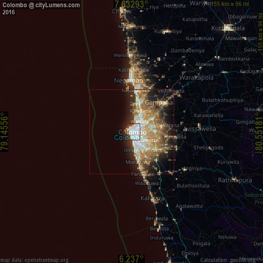
Analysis of Colombo night lights 2016
Square area 10x10 km:
 38.53%
90-99
18.4%80-89
0.87%70-79
1.52%60-69
1.73%50-59
2.81%40-49
4.11%30-39
10.39%20-29
8.44%10-19
13.2%0-9
0%Square area 50x50 km:
4.28%90-99
4.85%80-89
3.57%70-79
4.53%60-69
5.43%50-59
4.79%40-49
4.37%30-39
3.68%20-29
6.1%10-19
9.29%0-9
49.09%Clear (daylight) street map image can be seen on geolist.org.
Map coordinates:
7° 37' 58.5" North, 79° 8' 44" East
6° 56' 7.7" North, 79° 50' 55.2" East
6° 14' 13.2" North, 80° 33' 6.5" East
Fantastic image of Colombo from space taken by astronauts [src2], but I don't have information about it's orientation, scale or angle. If necessary, it was rotated manually, so North points approximately to upper direction. Click to zoom in:
Some cities around Colombo sort by population:
• Pita Kotte
7.7 km =4.8 mi,  130°
130°
• Sri Jayewardenepura Kotte
8.7 km =5.4 mi, 132°
• Kotikawatta
6.8 km =4.2 mi,  98°
98°
• Kolonnawa
4 km =2.5 mi,  94°
94°
• Hendala
7.2 km =4.5 mi,  31°
31°
• Wattala
7.6 km =4.7 mi,  38°
38°
• Peliyagoda
5.3 km =3.3 mi,  46°
46°
• Kelaniya
8.4 km =5.2 mi,  74°
74°
1248991 (p: 648,034)
Sources (retrieved 2019-11-25):
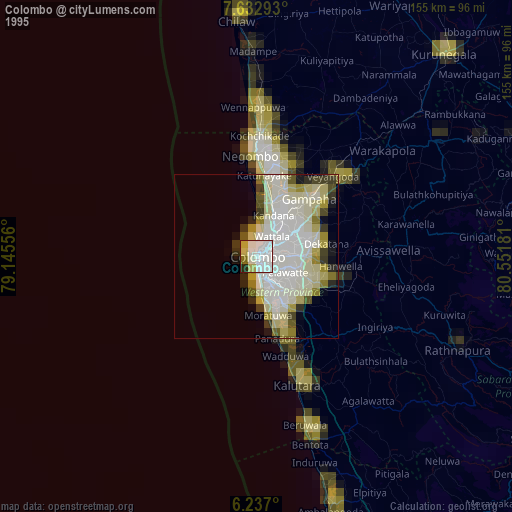
» NASA, Earths city lights 1995
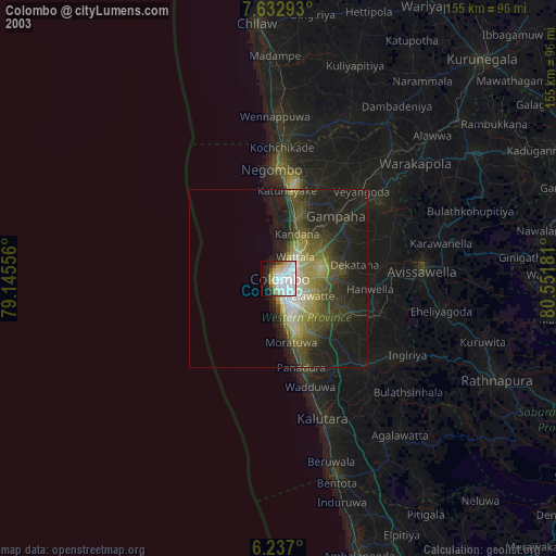
» NASA city lights 2003
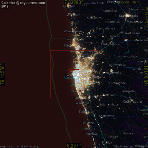
» Earth at Night: Flat Maps 2012, 2016
Src.2: NASA.gov ID: ISS030-E-195979, 2012-03-30