Sekong night lights from space
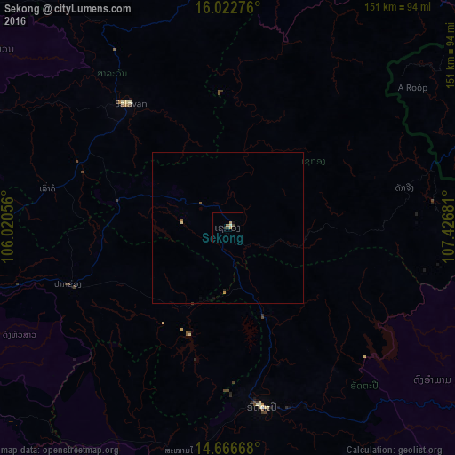
Night Light of Sekong (Xékong) from space (Laos) Src. Average luminocity for 10x10km area is 3.9372% and for 50x50km: 0.265%.
Analysis of Sekong night lights 2016
Square area 10x10 km:
 0%
0%90-99
0.87%80-89
0%70-79
1.73%60-69
0.22%50-59
0.65%40-49
0.22%30-39
0.87%20-29
1.52%10-19
0.65%0-9
93.29%Square area 50x50 km:
0%90-99
0.03%80-89
0.03%70-79
0.1%60-69
0.01%50-59
0.09%40-49
0.01%30-39
0.03%20-29
0.09%10-19
0.07%0-9
99.53%Clear (daylight) street map image can be seen on geolist.org.
Map coordinates:
16° 1' 21.9" North, 106° 1' 14" East
15° 20' 45" North, 106° 43' 25.2" East
14° 40' 0" North, 107° 25' 36.5" East
Some cities around Sekong sort by population:
• Huế, VN
155.2 km =96.4 mi,  36°
36°
• Pakse
102.3 km =63.6 mi,  255°
255°
• Phibun Mangsahan, TH
160.7 km =99.9 mi,  265°
265°
• Ðông Hà, VN
168.4 km =104.6 mi,  13°
13°
• Muang Không
165.5 km =102.8 mi,  214°
214°
• Champasak
103.9 km =64.6 mi,  240°
240°
• Salavan
52.7 km =32.7 mi,  321°
321°
• Attapeu
60.6 km =37.7 mi,  168°
168°
9948272 (p: 0)
Sources (retrieved 2019-11-25):
» Earth at Night: Flat Maps 2012, 2016