Kokpekty night lights from space
Night Light of Kokpekty from space (Kazakhstan) Src. Average luminocity for 10x10km area is 0.256% and for 50x50km: 0.0096%.
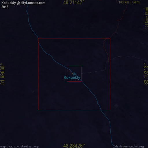
Analysis of Kokpekty night lights 2016
Square area 10x10 km:
 0%
0%90-99
0%80-89
0%70-79
0%60-69
0%50-59
0%40-49
0.6%30-39
0%20-29
0%10-19
0%0-9
99.4%Square area 50x50 km:
0%90-99
0%80-89
0%70-79
0%60-69
0%50-59
0%40-49
0.02%30-39
0%20-29
0%10-19
0%0-9
99.98%Clear (daylight) street map image can be seen on geolist.org.
Map coordinates:
49° 12' 41.3" North, 81° 41' 48.8" East
48° 45' 0" North, 82° 24' 0" East
48° 17' 3.3" North, 83° 6' 11.3" East
Some cities around Kokpekty sort by population:
• Ust-Kamenogorsk
136.6 km =84.9 mi,  6°
6°
• Georgīevka
88 km =54.7 mi,  316°
316°
• Belousovka
154 km =95.7 mi,  3°
3°
• Shar
135.3 km =84.1 mi,  313°
313°
• Kurchum
94.9 km =59 mi,  102°
102°
• Aksuat
95.4 km =59.3 mi,  92°
92°
• Zhanga Buqtyrma
127.4 km =79.2 mi,  39°
39°
• Asūbulaq
101.9 km =63.3 mi,  28°
28°
1522503 (p: 5,165)
Sources (retrieved 2019-11-25):
» Earth at Night: Flat Maps 2012, 2016