Shīeli night lights from space
Night Light of Shīeli (Qyzylorda) from space (Kazakhstan) Src. Average luminocity for 10x10km area is 9.1939% and for 50x50km: 0.5567%.
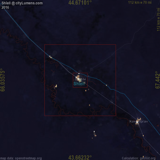
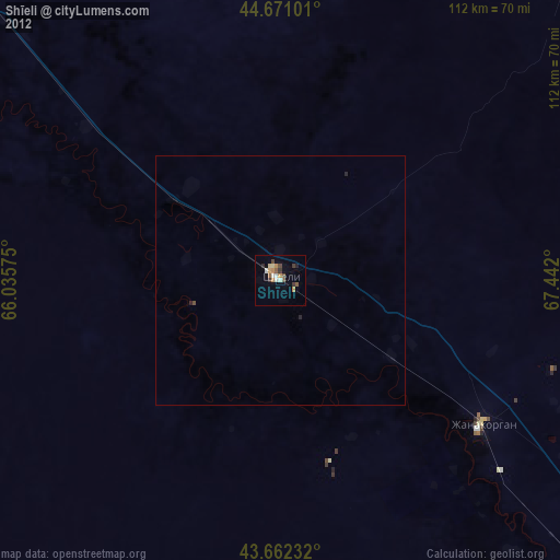
Analysis of Shīeli night lights 2016
Square area 10x10 km:
 0.15%
0.15%90-99
2.27%80-89
0%70-79
0.61%60-69
2.58%50-59
2.27%40-49
0.61%30-39
1.67%20-29
3.18%10-19
0.61%0-9
86.06%Square area 50x50 km:
0.01%90-99
0.09%80-89
0.05%70-79
0.03%60-69
0.17%50-59
0.13%40-49
0.07%30-39
0.08%20-29
0.18%10-19
0.05%0-9
99.14%Clear (daylight) street map image can be seen on geolist.org.
Map coordinates:
44° 40' 15.6" North, 66° 2' 8.7" East
44° 10' 7.8" North, 66° 44' 19.9" East
43° 39' 44.4" North, 67° 26' 31.2" East
Some cities around Shīeli sort by population:
• Kyzylorda
123.7 km =76.9 mi,  307°
307°
• Turkestan
155.4 km =96.6 mi,  128°
128°
• Kentau
159.1 km =98.9 mi,  117°
117°
• Yanykurgan
50 km =31.1 mi, 125°
• Tasböget
115.7 km =71.9 mi, 305°
• Kantagi
164.1 km =102 mi, 115°
• Terenozek
170 km =105.6 mi, 305°
• Ashchysay
186.1 km =115.6 mi,  111°
111°
1524801 (p: 29,832)
Sources (retrieved 2019-11-25):
» Earth at Night: Flat Maps 2012, 2016