Zhanga Buqtyrma night lights from space
Night Light of Zhanga Buqtyrma (East Kazakhstan) from space (Kazakhstan) Src. Average luminocity for 10x10km area is 0.3852% and for 50x50km: 0.0332%.
Analysis of Zhanga Buqtyrma night lights 2016
Square area 10x10 km:
 0%
0%90-99
0%80-89
0%70-79
0%60-69
0.56%50-59
0%40-49
0%30-39
0%20-29
0%10-19
0%0-9
99.44%Square area 50x50 km:
0%90-99
0%80-89
0%70-79
0%60-69
0.04%50-59
0%40-49
0%30-39
0%20-29
0%10-19
0.02%0-9
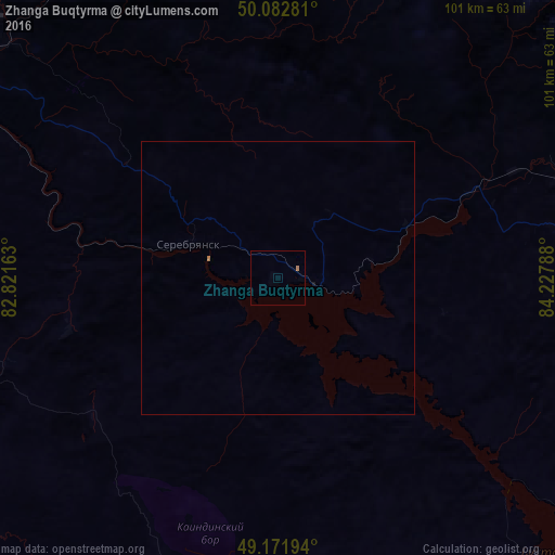
99.93%Clear (daylight) street map image can be seen on geolist.org.
Map coordinates:
50° 4' 58.1" North, 82° 49' 17.9" East
49° 37' 46.2" North, 83° 31' 29.1" East
49° 10' 19" North, 84° 13' 40.4" East
Some cities around Zhanga Buqtyrma sort by population:
• Ust-Kamenogorsk
76.1 km =47.3 mi,  299°
299°
• Ridder
79.5 km =49.4 mi,  359°
359°
• Zyryanovsk
54.9 km =34.1 mi,  78°
78°
• Glubokoye
103.8 km =64.5 mi, 303°
• Belousovka
90.9 km =56.5 mi,  307°
307°
• Kurchum
118.7 km =73.8 mi,  175°
175°
• Aksuat
102.3 km =63.6 mi,  172°
172°
• Asūbulaq
34.2 km =21.3 mi,  256°
256°
1520660 (p: 6,026)
Sources (retrieved 2019-11-25):
» Earth at Night: Flat Maps 2012, 2016