Taiynsha night lights from space
Night Light of Taiynsha (Soltüstik Qazaqstan) from space (Kazakhstan) Src. Average luminocity for 10x10km area is 2.0278% and for 50x50km: 0.0869%.
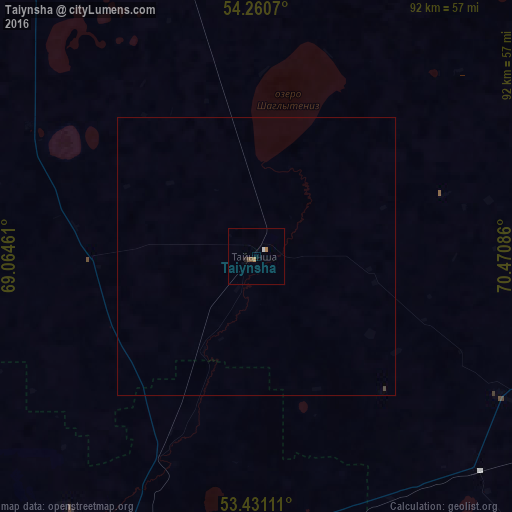
Analysis of Taiynsha night lights 2016
Square area 10x10 km:
 0.13%
0.13%90-99
0.4%80-89
0%70-79
0.26%60-69
0.79%50-59
0%40-49
1.06%30-39
0%20-29
0.26%10-19
0.26%0-9
96.83%Square area 50x50 km:
0.01%90-99
0.02%80-89
0%70-79
0.01%60-69
0.03%50-59
0%40-49
0.06%30-39
0%20-29
0.01%10-19
0.01%0-9
99.86%Clear (daylight) street map image can be seen on geolist.org.
Map coordinates:
54° 15' 38.5" North, 69° 3' 52.6" East
53° 50' 52.7" North, 69° 46' 3.8" East
53° 25' 52" North, 70° 28' 15.1" East
Some cities around Taiynsha sort by population:
• Petropavl
120.1 km =74.6 mi,  340°
340°
• Kokshetau
67.3 km =41.8 mi,  201°
201°
• Shchuchinsk
105.2 km =65.4 mi,  164°
164°
• Akkol’
62.3 km =38.7 mi,  190°
190°
• Bulayevo
125.5 km =78 mi,  20°
20°
• Būrabay
92.3 km =57.4 mi, 156°
• Smirnovo
77.4 km =48.1 mi, 343°
• Bishkul
112.1 km =69.7 mi, 337°
1522035 (p: 13,148)
Sources (retrieved 2019-11-25):
» Earth at Night: Flat Maps 2012, 2016